Over the course of some 35 years, I have written descriptions of more than 100 hikes to out-of-the-way sites in what I call the Magic Circle around the city of Guadalajara, within which all five of Mexico’s ecosystems just happen to converge.
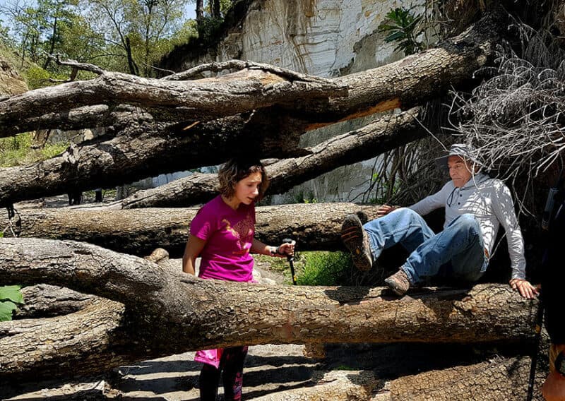
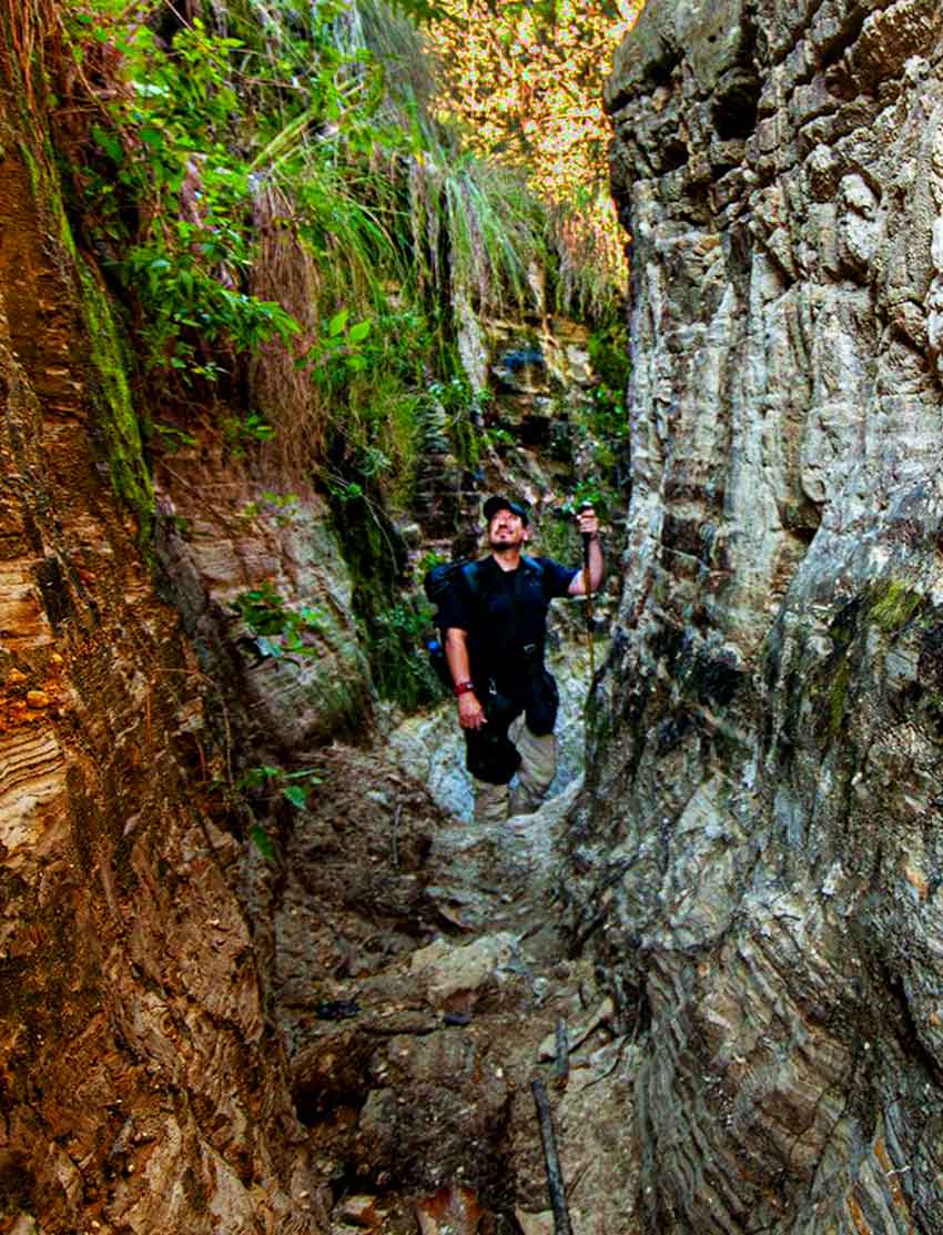
Every now and then, people would ask me to organize a hike to one of these picturesque places and I would do so, inevitably choosing a route that involved clambering over rock walls, squeezing under barbed wire fences, slogging through swamps or hanging on to a cliffside for dear life above a 100-meter drop: just the sort of excursion I considered challenging and fun in my younger days.
I would think, “They wanted an adventure, and what an adventure they got!”
However, the most common request I received from people who participated in those hikes was, “When are you going to organize something I could bring my kids to?” and more specifically, “I want a hike where I can take along my five-year-old.”
Honestly, I had so many requests for hikes suitable for a five-year-old that I finally started looking for trails that might satisfy this criterion. I sought out caminos (paths) that were interesting, challenging and not very long.
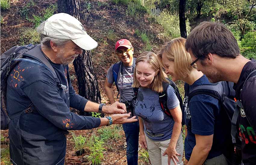
Loops, of course, are always more fun than trails where are you have to backtrack, so I focused on loops no more than three kilometers long. To make everything more interesting, I got the help of botanists, biologists, geologists and archaeologists to tell me about features along the trail that I could later present to families doing the hikes.
The Chuyville Loop is one of these interpretive trails that I believe will delight not only kids and their parents but abuelitos and abuelitas (grandpas and grandmas) as well. It’s situated entirely inside the huge Primavera Forest, located adjacent to Guadalajara along the western boundary of the city.
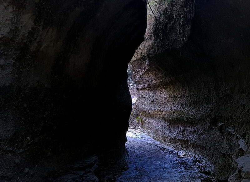
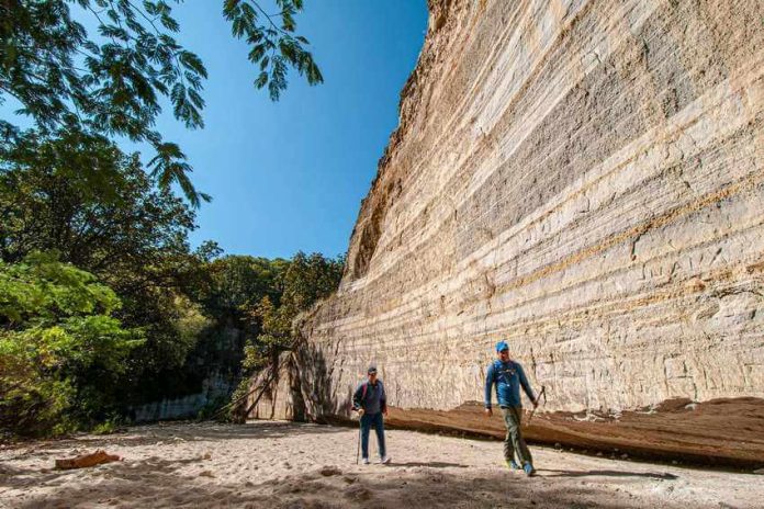
The hike begins in the Río Seco (Dry River) Canyon alongside the community of Pinar de la Venta.
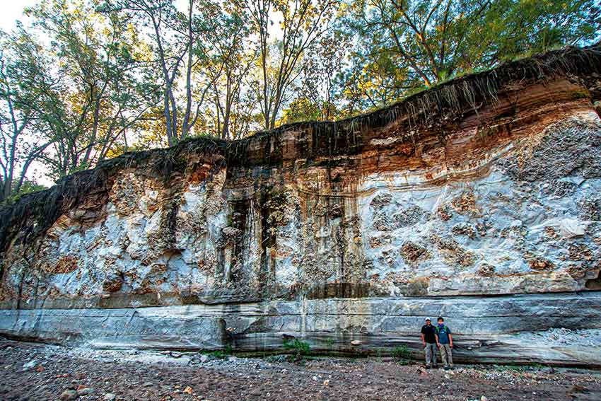
The high, sheer canyon walls have a story to tell, the tale of a huge explosion that took place 94,000 years ago, shooting 40 cubic kilometers of volcanic ash and pumice into the air and leaving behind a great hole in the ground that geologists call the Primavera Caldera.
Long horizontal lines on the canyon walls — indicating layers of sediment — tell us that the caldera filled with water and became a lake for 10,000 to 20,000 years. Eventually, volcanoes popped up in the lake and spewed out their volcanic froth, which then hardened into lightweight pumice.
These great “icebergs” of pumice floated on the surface of the water for a while and then sank to the bottom of the lake, forming a stratum, or layer, several meters high, now known as the Giant-Pumice Horizon.
It’s easy to spot, even for a five-year-old.
In the Dry River, we also find pieces of obsidian, volcanic glass that was perhaps more valuable than gold to the pre-Hispanic indigenous people here.
They didn’t have metal tools, but an obsidian knife can be sharpened far finer than a steel blade. Obsidian was also the raw material for much-needed cutting and scraping tools and a truly clever flat sword called the macuahuitl.
This weapon was made of hardwood with a groove along its edge, into which sharp obsidian blades were glued using chicle (natural gum). It’s hard to believe, but the Spaniards testified that this native sword could decapitate a horse.
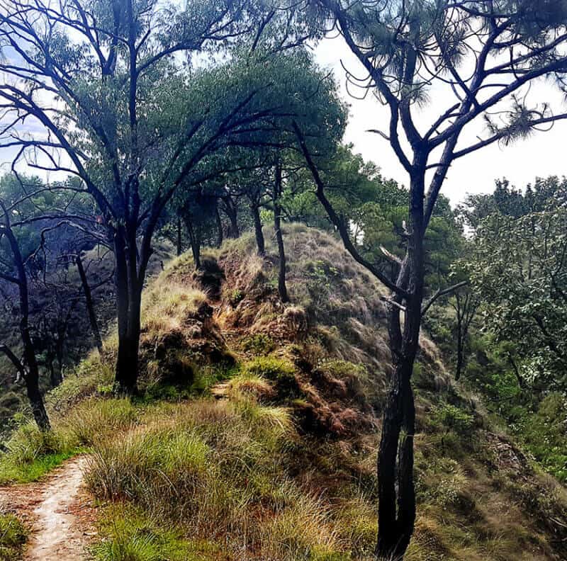
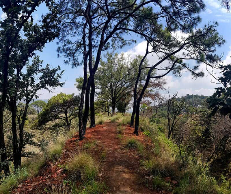
From the Río Seco, we plunge into a pine and oak forest. During this 325-meter stretch of the hike, there is no trail.
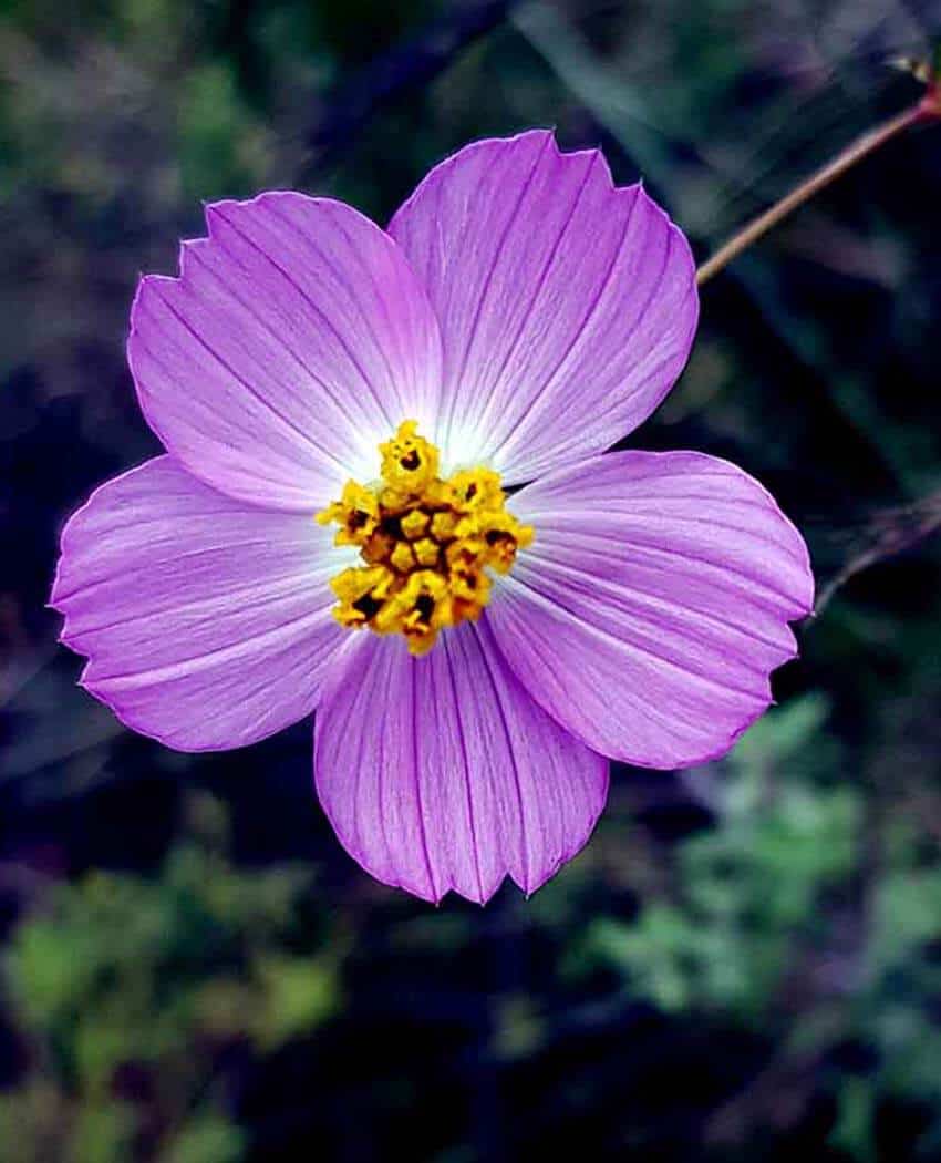
We make our way uphill through a great patch of aromatic wild sage plants interspersed with wildflowers. If it happens to be near October, we are likely to see the Flor de San Francisco, and the sage will be replaced by jarra plants, whose stalks were traditionally used to make charcoal sticks, a favorite of Mexico’s muralists.
Now, we are immersed in the forest, walking on a carpet of pine needles, occasionally dodging the pointy spikes of the Agave guadalajarana, endemic to the area.
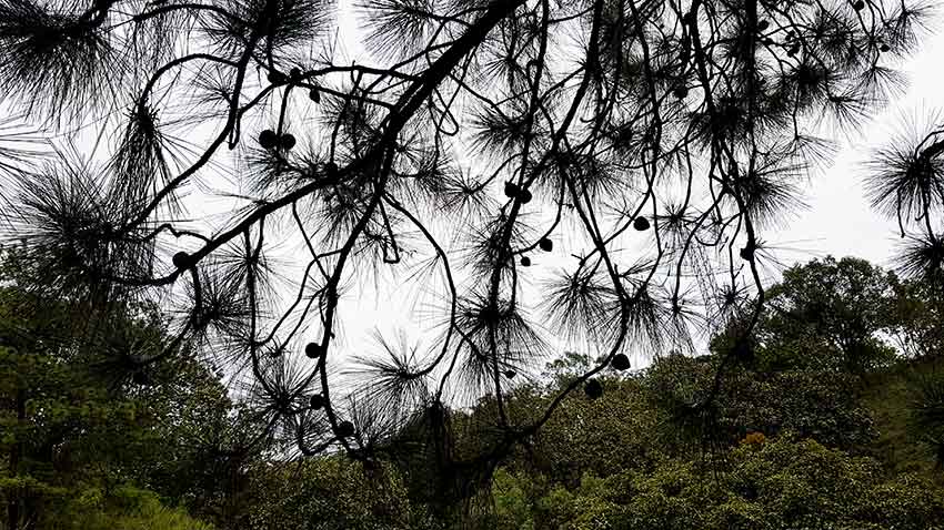
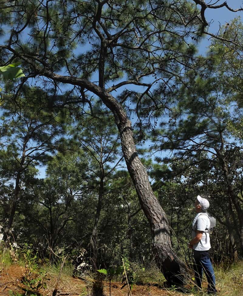
In this neck of the woods, the most common pine tree is Pinus oocarpa, known as el pino amarillo in Spanish and as the egg-cone pine in English. This species was the progenitor of many of the other Mexican pines.
As is clear from its name, its small, oval-shaped pine cones make it easy to identify.
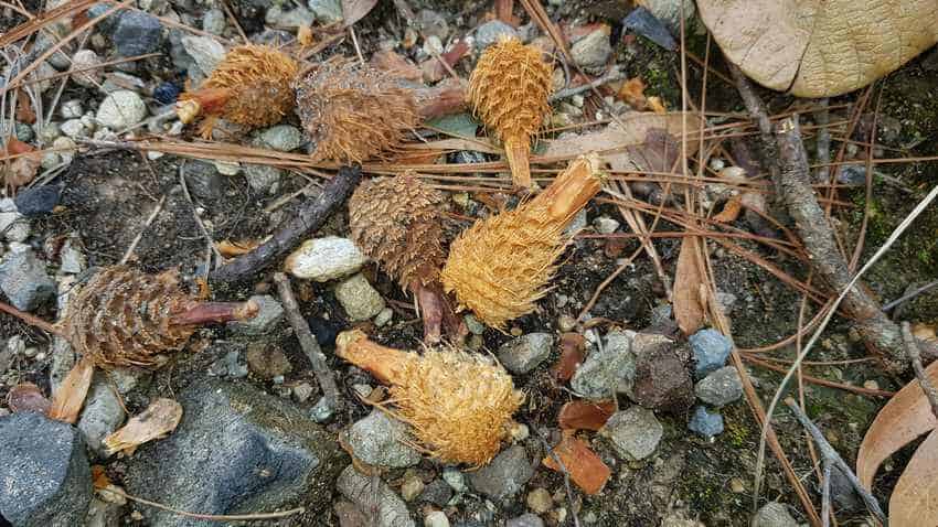
It appears that the pine nuts inside these little cones are also delicious, judging from dozens of pine cone cores lying everywhere on the hillside that were recently gnawed by hungry squirrels.
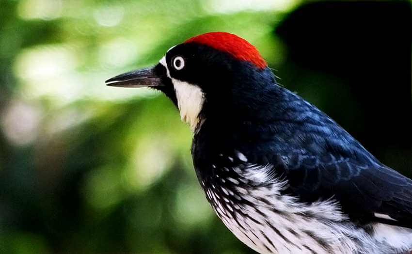
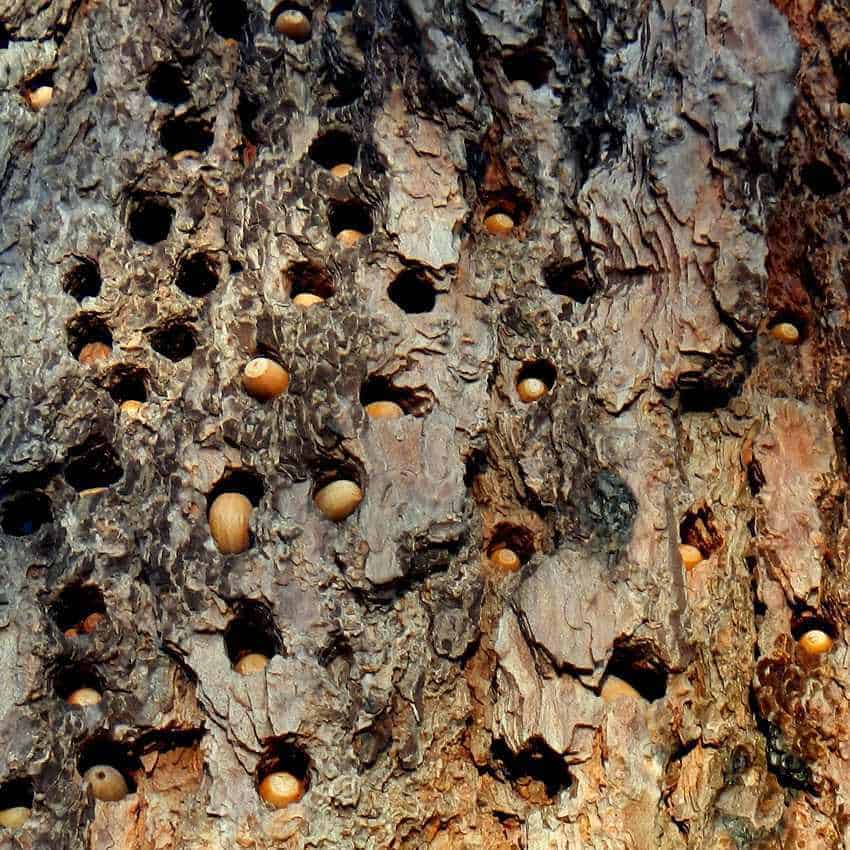
Here we also find plenty of robles with big, wide leaves and encinos with long, slim leaves. Curiously, both of them are oak trees, but it’s only the acorns of the encinos that the local woodpeckers choose to store in hundreds of holes drilled not into oaks but into the soft bark of the egg-cone pines.
Reaching a high ridge, we follow a very old and well-worn trail to Chuyville, which is the name I gave to a flat clearing in the woods that looks like a little village. It’s dotted with rustic shelters made of tree branches and other ad hoc material.
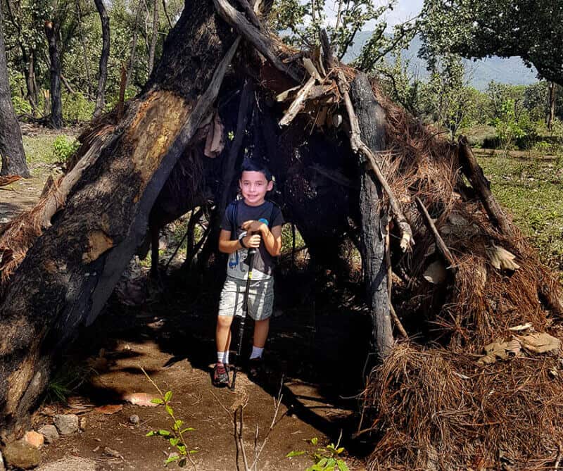
Each shelter represents a project carried out by kids who, over the years, have participated in month-long summer courses taught by nature photographer Jesús “Chuy” Moreno.
In these courses, around 80 children of all ages spend eight hours a day — rain or shine — learning all about flora and fauna by seeking, finding, collecting, measuring, dissecting, drawing and sometimes eating the wonderful plants and creatures hiding in the woods.
Moreno’s hands-on approach to teaching science has turned hundreds of Mexican kids on to nature, inspiring quite a number of them to choose biology, botany or agronomy for their career in life.
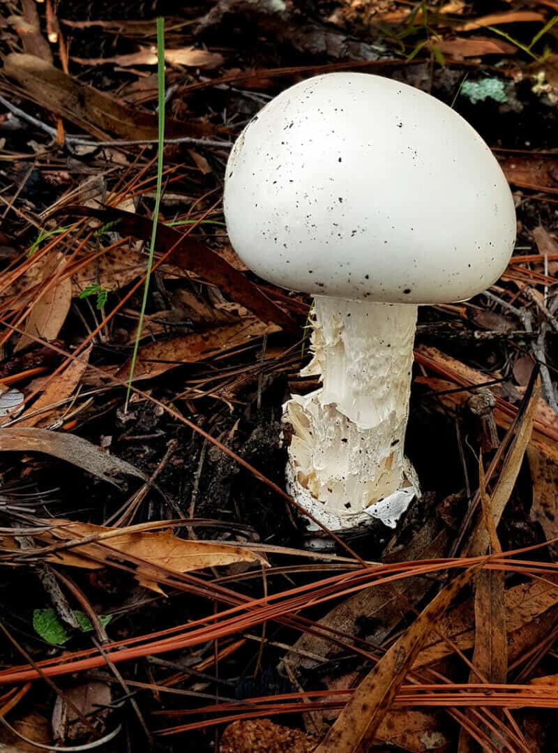
The Chuyville Loop takes about two hours to do at an easy pace, but that can easily turn into three hours if you can’t resist stopping to look at every praying mantis, mushroom or woodpecker you happen to come upon.
If you’ve never visited Jalisco’s celebrated Primavera Forest, you may agree with Luis López, who commented, “I think this caminata (walk) was the perfect introduction to Bosque la Primavera!”
If you live near Guadalajara and would like to do the Chuyville Loop, you can check out the route in advance via Wikiloc.
If you prefer to have a guide, you may want to participate in one of the short hikes I occasionally organize. Just send me an email ([email protected]) and I’ll sign you up for the next one.
The writer has lived near Guadalajara, Jalisco, for 31 years and is the author of A Guide to West Mexico’s Guachimontones and Surrounding Area and co-author of Outdoors in Western Mexico. More of his writing can be found on his website.
