Researchers have pinpointed almost 500 Mesoamerican ceremonial centers using a remote sensing method known as light detection and ranging, or LIDAR.
Aerial remote sensing carried out across Tabasco and southern Veracruz and in some parts of Campeche, Chiapas and Oaxaca revealed 478 Olmec and Mayan ceremonial centers.
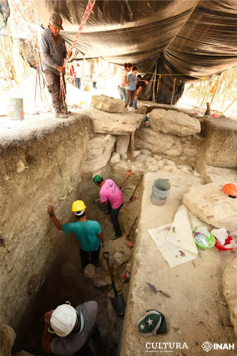
Authorized by the National Institute of Anthropology and History, the 85,000-square-meter LIDAR survey was the largest ever conducted in the historical and cultural region known as Mesoamerica.
Its discoveries are detailed in a paper published Monday in the journal Nature Human Behaviour.
One ceremonial center was located at an early Olmec site in Veracruz called San Lorenzo. University of Arizona archaeologist Takeshi Inomata, who led the study, said the rectangular earthen ceremonial space was previously unknown.
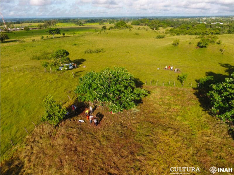
It is approximately 1,000 meters long and 275 meters wide and is surrounded by 20 slightly raised platforms. Inomata said the exact purpose of the space is unclear but it may have been a plaza where crowds gathered for certain ceremonies. Dwellings may have been located on the elevated platforms, he said.
San Lorenzo, where there are 10 Olmec stone heads that are believed to depict ancient rulers, was at its peak roughly between 1400 and 1000 B.C.

The Olmec civilization is known as the “mother culture” of Mesoamerica because most scholars believe it was the first in the region and influenced those that emerged in later years, including the Maya civilization. Inomata believes there could be undiscovered Olmec stone heads, each of which is carved from a single basalt boulder, at other ceremonial centers
Many of the centers detected via LIDAR have similar layouts to San Lorenzo. Their design appears to be related to the position of the sun on important ceremonial dates.
“These centers were probably the earliest material expressions of basic concepts of Mesoamerican calendars,” Inomata said.
He and other researchers also detected a massive clay and earth platform near the Guatemala border in Tabasco. Found at the Aguada Fénix site using LIDAR, the Mayan structure was described in the journal Nature last year.
“The advantage of LIDAR is that it provides a three-dimensional, bird’s-eye view of the landscape and modifications to it made by humans, ancient and modern, in the form of building, transportation, agricultural and water control infrastructure,” said Juan Carlos Fernandez-Diaz of the University of Houston’s National Center of Airborne Laser Mapping.
“LIDAR also allows us to ‘see’ the landscape and infrastructure that in many parts of the world is hidden under forest cover,” added the co-author of the study.
With reports from Reuters