Jumping at the chance to escape to somewhere I knew nothing about, I accepted a temporary teaching gig at the American School in the city of Durango some years ago.
I really liked the city and climate, but life called me back to Mexico City. However, I left with a standing invitation from noted artist and ceramicist, Trinidad (Trino) Núñez, to stay if/when I returned, and perhaps to his surprise, I recently took him up on it. His extra bedroom plus my car, I hoped, would allow me to see more of the state than I could during my previous visit.
Let’s say “mission accomplished” – somewhat.
Durango has so much going for it as a destination – an environment much like the southwest U.S. that has been used in Hollywood films, a capital with colonial buildings, two important suspension bridges and Tepehuan indigenous and Mennonite communities.

Durango city is only three or so hours from Mazatlán by car along one of the most scenic roads in Mexico.
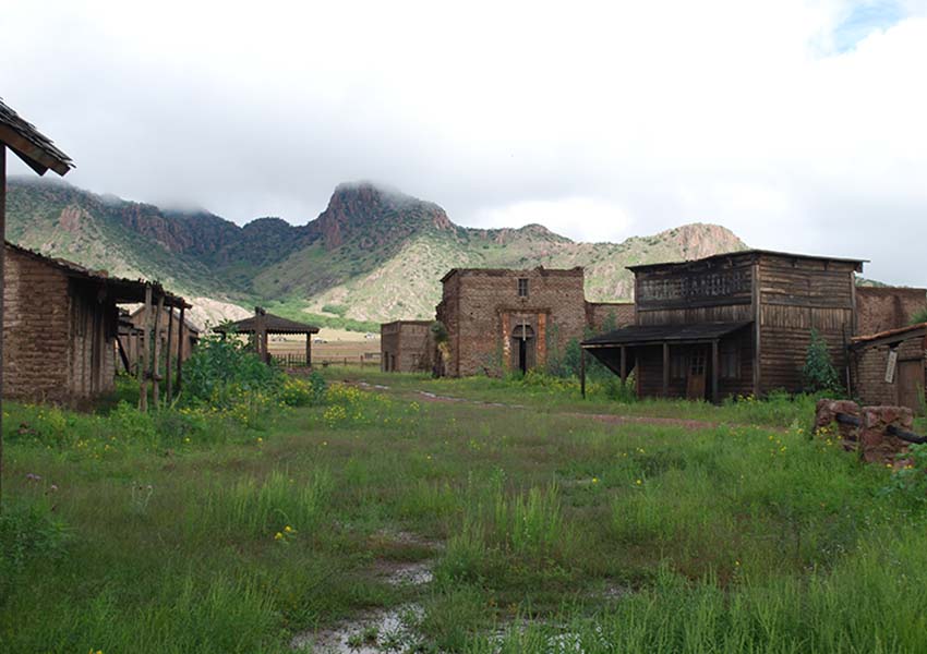
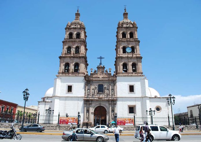
The historic center remains quite charming, contrasting with much of northern Mexico because of its Baroque architecture. The buildings serve as a reminder that the Spanish got this far northwest fairly quickly. It is also famous for scorpions and movie sets from old westerns shot from the 1950s to the 1970s.
I really wanted to take advantage of being able to traverse the wide spaces between towns and other attractions that only a vehicle can afford. Not finding a whole lot of information online, I just figured I could drive up highways and pull over at interesting sites.
But I learned that motoring in Durango has its own peculiar quirks, to say the least.
My first drive took me up Highway 23, which extends north/northwest and dead ends at Guanaceví in the mountains. I was treated to fantastic scenery on all sides, although there were precious few places where I could pull over safely and take pictures.
The towns of Nuevo Ideal and Santiago Papasquairo were larger and more modern than I expected, clearly regional economic centers. You have to go to the northern end, to Santa Catarina Tepehuanes and Guanaceví, to see the kinds of pueblos you might expect in an isolated valley. Or you need to get off the highway.
That’s easier said than done, as Durango state is pickup truck territory.
Off the main roads, there are many small and large attractions such as Lake Santiaguillo, Charco Azul, petroglyphs and small towns with interesting churches, but many of these are on dirt roads. The rainy season creates mud that my city-slicker car is no match for, and rains can carve out gullies overnight prohibitive to any vehicle.

If you browse through México Desconocido’s travel guide to the state (available in English), you might be surprised to find that over half of it is dedicated to the capital and most of the rest to its two Pueblos Mágicos — Nombre de Dios and Mapimí. Everything else barely gets a mention.
Starting from that first drive, why this is the case became understandable to me, if still terribly disappointing.
The problems I faced on Highway 23 are found elsewhere: dirt roads in drier areas should be better, but they aren’t because of a lack of grading and other maintenance. And highways present their own challenges: even the libre (non-toll) highways have long stretches where you can easily get up to more than 140 kilometers per hour without realizing it as you drive good pavement in a straight line in the middle of nowhere.
But watch out when you get anywhere near a town.
State authorities do not maintain highways in towns, and neither do the municipalities. I swear there were areas with potholes big enough to swallow my car. Even on the most important highways — such as the expensive toll road to Mazatlán, with the state’s engineering pride the Baluarte bridge — potholes are not unknown.
Fallen rock is not uncommon either, preventing the driver from zipping along, appreciating fully the wonderful scenery passing by. One eye always has to be on the immediate road ahead. The other issue is the severe lack of tourist information, online and off.
Even for the state’s two Pueblos Mágicos, signage is rare and often useless. Paper guides are still the best source of info. There are Turimexico web pages touting various routes for mezcal, the Mennonites, etc., but there are no maps, not even a list of the mezcal producers (vinatas) in Nombre de Dios. The state tourism ministry does have a website promoting things to do in Durango, but it’s a really an introduction to the state’s offerings, light on detailed information, and it’s only available in Spanish.
Some information online is misleading: yes, there is an entrance to the famous Zone of Silence desert area, off the highways between Ciudad Jiménez and Mapimí, but the welcome center is 11 kilometers inland over, yup, car-prohibitive dirt roads. And to visit, you have to make an appointment for a tour with the Ejido La Flor, a communally owned area, which will arrange transportation.
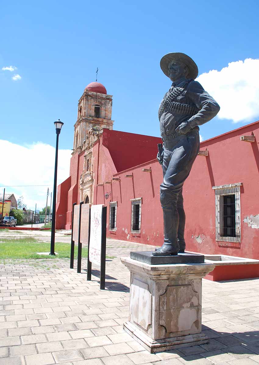
The north of the state, the heart of Pancho Villa territory, is completely virgin touristically. Despite a seemingly-infinite number of hectares of nature, right now I can recommend only one place, Mexiquillo, for general ecotourism because it is easy to access from the Mazatlan highway and recently developed sufficient lodging facilities of various types to allow a range of people to visit.
Durango’s tourism deputy minister Elvira Silverio agrees that much work needs to be done so that, in her words, “…when I say ‘Durango,’ everyone knows what I am talking about.”
If your aim is to say you have been to the state, your best bets are still the capital, the Pueblos Mágicos and Mexiquillo. Anywhere else should be for the more determined traveler who has flexibility, a truck or sport utility vehicle and the money to fill a gas tank.
Leigh Thelmadatter arrived in Mexico 18 years ago and fell in love with the land and the culture in particular its handcrafts and art. She is the author of Mexican Cartonería: Paper, Paste and Fiesta (Schiffer 2019). Her culture column appears regularly on Mexico News Daily.
