While the unseasonably late Hurricanes Eta and Iota slammed into Central America in the first half of November 2020, further north on Mexico’s Gulf coast, the sun was shining, as it almost always does there late in the year.
Meanwhile, however, across the so-called “northern triangle” of Guatemala, Honduras and El Salvador, where the hurricanes were striking, significant quantities of rainwater poured into the area’s rivers, which largely flow from south to north and end up meeting the ocean in the Gulf of Mexico, largely via the Usumacinta River basin.
As the hurricanes hit, in fact, the Díaz family of San Eduardo at the westernmost edge of Campeche, a family well used to being surrounded by water the entire year, had little inkling that within two weeks and despite having had no rainfall whatsoever, they would be struggling with the harshest floods they had witnessed in a generation.
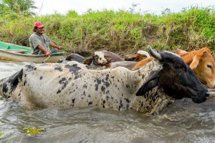
In no time at all, their entire land, crops and animals had either washed away or had been left at the literal water’s edge. At the highest watermark, in fact, the family had half a bedroom as the sole remainder of their dry existence; the rest of their lives had been fully immersed.
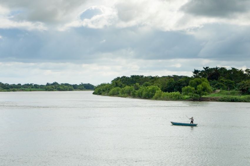
The Usumacinta River and its broad hinterland of deltas and extensive floodplains gathers and releases, on average, over 5,000 cubic meters of water per second. Straddling Tabasco and Campeche in Mexico’s remote southeast, reaching inland as far as Tenosique, it is by some distance the most voluminous river in Mexico and Central America.

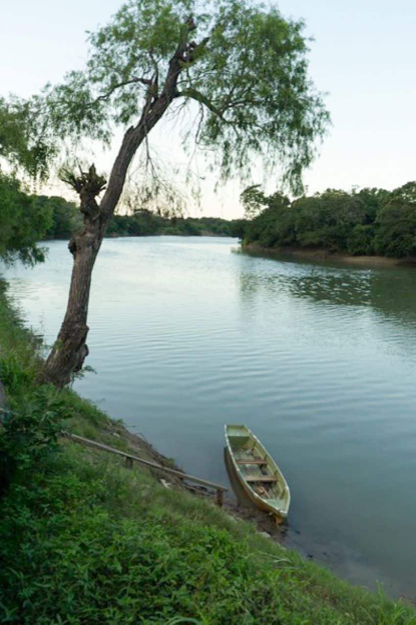
Above Tenosique, in the highlands of Chiapas, where the river also serves as the de facto border between Mexico and Guatemala, the Usumacinta is generally a narrow channel cut through rock — including a classic high-wall gorge at Boca del Cerro — before it opens out below into a wide array of self-nourishing water systems. During the winter season, some of the expansive area of land occasionally dries, but the territory is more often composed of year-round wetlands that are home to innumerable native species, including manatee, crocodiles, the howler monkey and an immense array of bird life.
The Usumacinta is also home to Mexico’s little-visited and largely forgotten water communities, the Díaz family among them.
Comprising three generations and approximately 40 individuals, the family’s presence here began 60 years ago when their grandparents relocated to the area from the regional uplands. They moved because land (or water) was cheap and plentiful and natural resources from which they could live and sustain themselves were in abundance.
The waters rose, the waters abated, fish were everywhere and their little pocket of precarious paradise gave them enough space to keep and feed livestock, using everything that grew around them.
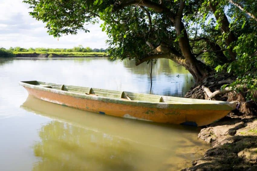
In the early days, the only transport was via the water on a Venetian-style punt. Though there are still traces of the canalete style of stand-up rowing, or punting, these days, outboard engines are favored over the punt for anything but the shortest of distances.
The nearest road was built 20 years ago but still ends miles from the family, a clear dead end that had soldiers who came to help with relief efforts in December completely stumped.

“They came in a massive truck,” says Sara, a second-generation member of the family and now regarded by all as the matriarch of the community. “The road was impassable, and they couldn’t conceive that it just stopped without going on anywhere. So their assistance ended up being to help some neighbors move a fridge they had just bought from the nearest town.” She rolls her eyes as she says this. “We’re better off alone here. Most people don’t understand how we can live so completely surrounded by — and at the mercy of — water, so much water.”
Further to the west in Tabasco, in the Centla biosphere reserve, husband-and-wife team Lupita and Raúl live much the same lifestyle as the Díaz family — one in which water is a permanent source of opportunity and livelihood but also risk. The couple live at Tres Brazos, the point of precise intersection between the Usumacinta and the vast Grijalva River and the smaller San Pedrito River, at which point the Usumacinta gets bigger than ever as it rolls on toward the ocean.
Here it isn’t just the full rivers that flood, says Lupita, but also ocean swells that barrel back in.
“We’re constantly at the mercy of our environment, but we’ve never known a place as beautiful as this. We are so lucky to live here.”
Communities across this broad, undefined area — except to say that it constitutes the westernmost edge of the Mayan world — all share a word in their common language, la creciente. The concept refers to the river as it swells and threatens but also the fact that, as it bursts its banks, fish will fill the surrounding wetlands and lagoons, bringing bounty and sustenance.
As with every event that these most amazing and unique of communities endure, everything is a double-edged sword — no surprise when you live on a forgotten frontier.

The truth of such frontiers is that they are little-known and understood because they are hiding in plain sight in the heart of Mexico’s southeast. Most mainstream cultural exposure to them is at its very edges. But take the time to push on beyond where the roads end, to journey beyond the water’s edge, and you will find some of the most amazing unknown and unheralded communities in the country, a hidden parallel world living on the beautiful edge of existence.
Shannon Collins is an environment correspondent at Ninth Wave Global, an environmental organization and think tank. She writes from Campeche.
