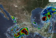
More than half of Mexico’s 32 states will see freezing temperatures on Monday and Tuesday as cold front No. 6 enters Mexico from the northwest.
The National Meteorological Service (SMN) warned that residents, particularly of Mexico’s northwest region, can expect significant drops in temperature throughout the week. The weather system will bring powerful wind gusts between 60 to 80 kilometers per hour, kicking up dust storms (known locally as “tolvaneras”) across Baja California, Baja California Sur, Sonora, Chihuahua and Coahuila.
Beginning Monday, mountainous areas of Baja California, Chihuahua, Durango, México state, Tlaxcala and Puebla can expect temperatures between -5 and 0 degrees Celsius.
The following states can expect temperatures between 0 and 5 degrees Celsius:
- Sonora
- Coahuila
- Nuevo León
- Zacatecas
- San Luis Potosi
- Aguascalientes
- Jalisco
- Michoacan
- Guanajuato
- Queretaro
- Hidalgo
- Mexico City
- Veracruz
- Oaxaca
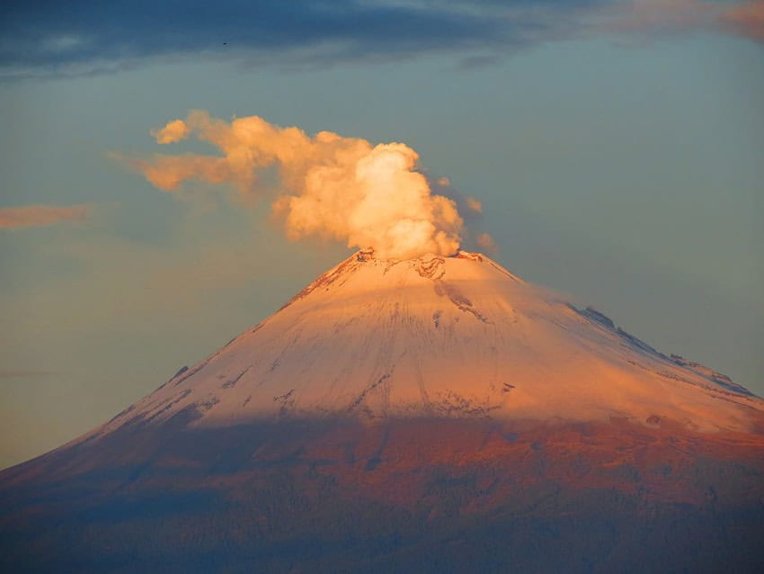
Snow and sleet are also possible in high peaks including the Popocatépetl, Iztaccíhuatl and Pico de Orizaba volcanoes.
Meanwhile, a new tropical wave will approach the coast of Quintana Roo on Thursday, interacting with a low-pressure channel in Mexico’s southeast and Yucatán Peninsula. These conditions will lead to heavy rainfall and thunderstorms in the region.
The SMN has warned that rainfall may lead to reduced visibility, landslides and flooding of rivers and streams. The weather agency urged residents to follow the recommendations of Civil Protection authorities, as strong winds may knock down trees and advertisements.

Se prevé esta mañana, ambiente fresco y bancos de #Niebla en zonas altas que rodean al #ValleDeMéxico.
Puedes consultar el #Pronóstico completo para la Megalópolis en ⬇️https://t.co/ornurShKJe pic.twitter.com/iFIElxMTrv
— CONAGUA Clima (@conagua_clima) October 28, 2024
Rain forecast by region
At least half of the country will see rainfall today. Here’s the forecast:
- Heavy to very heavy rainfall (50 to 75 millimeters): Veracruz, Oaxaca, Chiapas, Tabasco and Quintana Roo.
- Showers and intervals of heavy rainfall (25 to 50 millimeters): Guerrero, Campeche and Yucatán.
- Showers (5 to 25 millimeters): Baja California, Tamaulipas, Hidalgo, Puebla, Tlaxcala, State of Mexico, Mexico City, Morelos and Michoacán.
Temperature forecast by region
Despite the cold front, some regions in Mexico will still experience high temperatures during on Monday. Here is the forecast for today:
- Maximum temperatures of 35 to 40 degrees Celsius: Baja California Sur, Sonora, Sinaloa and Nayarit.
- Maximum temperatures of 30 to 35 degrees Celsius: Baja California, Chihuahua, Coahuila, Nuevo León, Tamaulipas, San Luis Potosí, Zacatecas, Durango, Jalisco, Colima, Michoacán, Guerrero, Oaxaca, Chiapas, Veracruz, Tabasco, Campeche, Yucatán and Quintana Roo.
Mexico News Daily