

Mexico’s first cold front of the season is expected to arrive this weekend, primarily affecting the northeastern states of the country, according to the National Meteorological Service (SMN).
In the northeast, temperatures are expected to drop to between 0 and 5 degrees Celsius (32-41 F) during the early morning hours accompanied by heavy rains and potential hail.
On Monday, when children in Mexico go back to school, heavy rains are expected in the states of Nuevo León and Tamaulipas. Meanwhile, whirlwinds or tornadoes are expected in the state of Coahuila on Sunday, spreading to areas of Nuevo León and Tamaulipas on Monday.
Other states such as Puebla, Durango, and México state could see low temperatures and rain. The forecast predicts the rainy season will continue until Sept. 30, before the full onset of autumn.
While the northeast experiences the effects of the late-summer cold fronts, the rest of the country will see warm temperatures and rainfall. Over the weekend, a low-pressure zone with the potential for cyclonic development is expected to form south of the Guerrero coast, with occasional heavy rains in Veracruz, Guerrero, Oaxaca, Chiapas and Tabasco.
Hot to very hot weather (35 to 40 degrees C, or 95-104 degrees F) will persist over states along the Pacific and southern Gulf of Mexico coasts, the Yucatán Peninsula, and further south in parts of Jalisco, Colima, Michoacán, Guerrero and Oaxaca.
The cold front season will officially run from Sept. 15 to May 15, 2026, bringing between 51 and 56 cold front systems throughout the country.

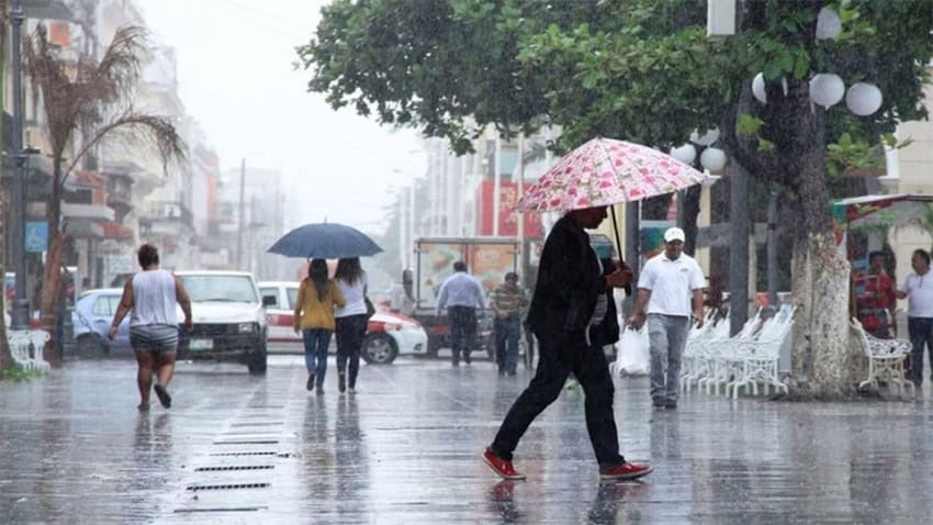
Here’s the latest rain by state for Friday:
Very heavy to intense rainfall (75 to 150 millimeters): Oaxaca (southwest), Chiapas (east and south) and Tabasco (east and south).
Heavy to very heavy rainfall (50 to 75 millimeters): Baja California Sur, Sonora, Chihuahua, Sinaloa, Durango, Nayarit, Jalisco, Michoacán, Guerrero, Veracruz, Campeche and Yucatán.
Showers with heavy rainfall (25 to 50 millimeters): Baja California, Zacatecas, Colima, Guanajuato, Querétaro, Mexico state, Mexico City, Morelos, Puebla and Quintana Roo.
Intervals of showers (5 to 25 millimeters): Coahuila, Nuevo León, Tamaulipas, San Luis Potosí, Aguascalientes, Hidalgo and Tlaxcala.
The predicted rain may bring lightning and hail, causing rising river and stream levels, landslides, and flooding in low-lying areas. Weather authorities have advised residents in affected areas to exercise caution.
With reports from Debate