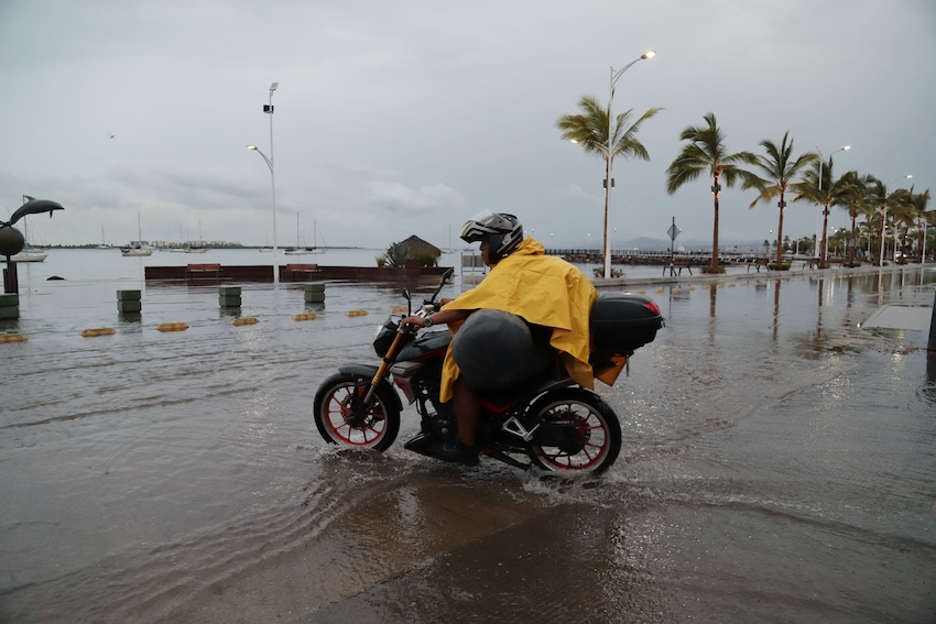
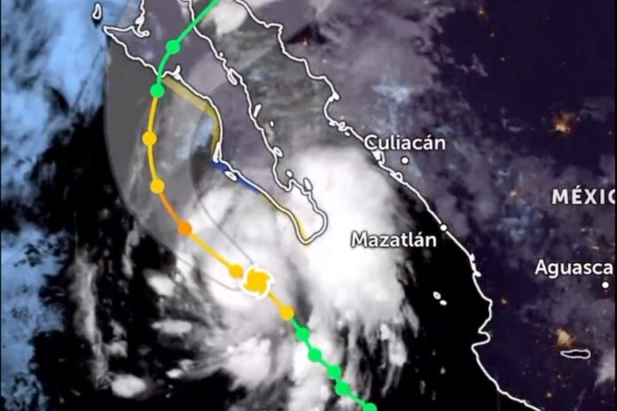
Tropical storm Lorena strengthened into a Category 1 hurricane early Wednesday morning, threatening Los Cabos and much of northwest Mexico with torrential rains, strong winds and high waves.
At 3 p.m. on Wednesday, the hurricane was located 255 km west of Cabo San Lucas and 285 km west of Cabo San Lázaro, Baja California Sur. The National Water Commission (Conagua) reported that it was moving northwest at a speed of 24 kilometers per hour, with wind gusts of up to 160 kilometers per hour (93 mph).

Heavy rains of 75 to 150 millimeters (3 to 6 inches) are expected in the central and southern regions of Baja California Sur and Sonora, as well as Sinaloa. Baja California, Nayarit and Jalisco will also experience heavy rainfall.
Local authorities in Los Cabos ordered all schools to close on Wednesday as a preventive measure to protect the safety of students, teachers and administrative staff, minimizing risks associated with traveling to campus.
The official forecast predicts that Lorena could intensify into a Category 2 hurricane and make landfall Friday morning in western Baja California Sur, then cross the Baja California Peninsula and reach the coast of Sonora on Saturday, near Guaymas.
However, the U.S. National Hurricane Center is also considering scenarios in which the system could remain in the Pacific Ocean for a longer period. Thus, potential changes in its path and intensity cannot be ruled out.
Authorities have called on residents to remain informed and closely monitor official advisories. They’ve also warned that the expected rainfall may bring lightning and hail, potentially leading to flooding and mudslides. The forecasted winds could also knock down trees and billboards.
In September 2019, another hurricane named Lorena hit near Los Cabos as a Category 1, primarily causing damage to rural areas, roads, and substandard housing, as well as power outages. Its impact on urban areas was less severe.
With reports from Hoy BCS
