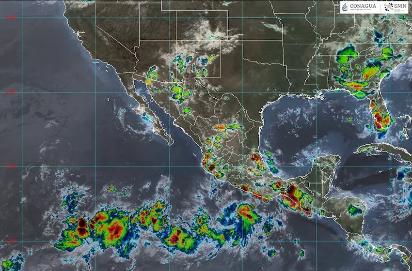
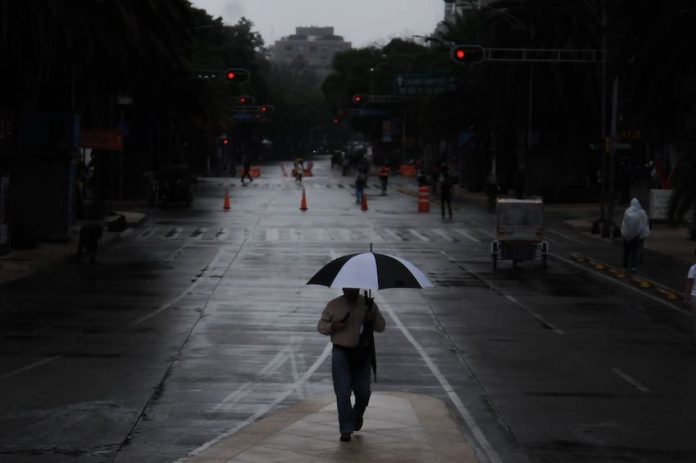
More rain is on its way through Mexico this week.
According to the National Meteorological Service (SMN), the seasonal Mexican monsoon in combination with tropical wave 14, a low-pressure trough in northern Mexico and cyclonic activity on the Pacific Coast and in the Atlantic basin, will increase rainfall in many parts of the country.
En el siguiente mapa de #México, consulta las condiciones de #Lluvia, #Viento y #Tolvaneras que se prevén para las próximas horas. Disponible en la siguiente liga 👉https://t.co/Eh1lhzYDaq pic.twitter.com/ZZlZZGSzSc
— CONAGUA Clima (@conagua_clima) July 29, 2024
July has been rainier than usual. From July 1 through July 25, Mexico registered 130 mm of total rainfall across the country, 26.6 mm more rainfall than the average for July.
Find the rain forecast for Monday below:
Rain forecasts by state
Intense rainfall (75 to 150 mm) is expected in Chiapas, Guerrero, Oaxaca, Puebla, Tabasco and Veracruz.
Very heavy rainfall (50 to 75 mm) is forecast in Chihuahua, Colima, México state, Jalisco, Michoacán, Morelos, Nayarit and Sonora.
Heavy rainfall (25 to 50 mm) may hit Mexico City, Durango, Guanajuato, Hidalgo, Querétaro, San Luis Potosí, Sinaloa and Tlaxcala.
Showers (5 to 25 mm) are expected in Aguascalientes, Campeche, Coahuila, Nuevo León, Quintana Roo, Tamaulipas, Yucatán and Zacatecas.
Isolated rains (0.1 to 5 mm) are forecast in Baja California and Baja California Sur.
Strong winds and potential whirlwinds are also expected across most of Mexico.
The SMN has warned residents in these states that winds could cause trees and billboards to fall.
Rainfall will continue throughout the week, with more rain expected over the weekend due to a new tropical wave.

Hot weather to continue
Here are the maximum temperatures forecast for Monday:
40 to 45 degrees Celsius: Baja California and Sonora.
35 to 40 degrees Celsius: Baja California Sur, Campeche, Chihuahua, Coahuila, Durango, Nuevo Leon, Quintana Roo, Sinaloa, Tabasco, Tamaulipas and Yucatán.
30 to 35 degrees Celsius: Chiapas, Colima, Guerrero, Jalisco, Michoacan, Morelos, Nayarit, Oaxaca, San Luis Potosi and Veracruz.
In contrast, the highlands of Durango, México state, Hidalgo, Puebla and Tlaxcala will see minimum temperatures of 0 to 5 degrees Celsius.
Is it rainier than usual in Mexico this year?
Overall, Mexico is having a very rainy summer. Between Jan. 1 and July 25, Mexico recorded rainfall of 338.3 mm — that is, 18.7 mm more than usual.
Since the rainy season officially began on June 19, Mexico has seen Hurricane Alberto in northern Mexico, Hurricane Chris in the south and Hurricane Beryl in the Yucatán Peninsula.
These storms in combination with tropical waves and low-pressure systems have reduced drought conditions across the country. As of July 15, the area of the country affected by drought was down to 51.2% from 73.9% — since before the rainy season began.
As per the weather agency Meteored, the states that have benefited the most from the rainfall include Nuevo Leon, Tamaulipas, San Luis Potosi, Zacatecas, Aguascalientes, Veracruz, Hidalgo, Campeche, Yucatán and Quintana Roo.
Meanwhile, Baja California, Sonora, Chihuahua, Coahuila, Sinaloa, Durango, Nayarit, Jalisco, Michoacán, Guerrero, Oaxaca, southern Veracruz, Tabasco and northern Chiapas have seen less rain this year.
The rest of the country has seen moderate rainfall.
With reports from Meteored
