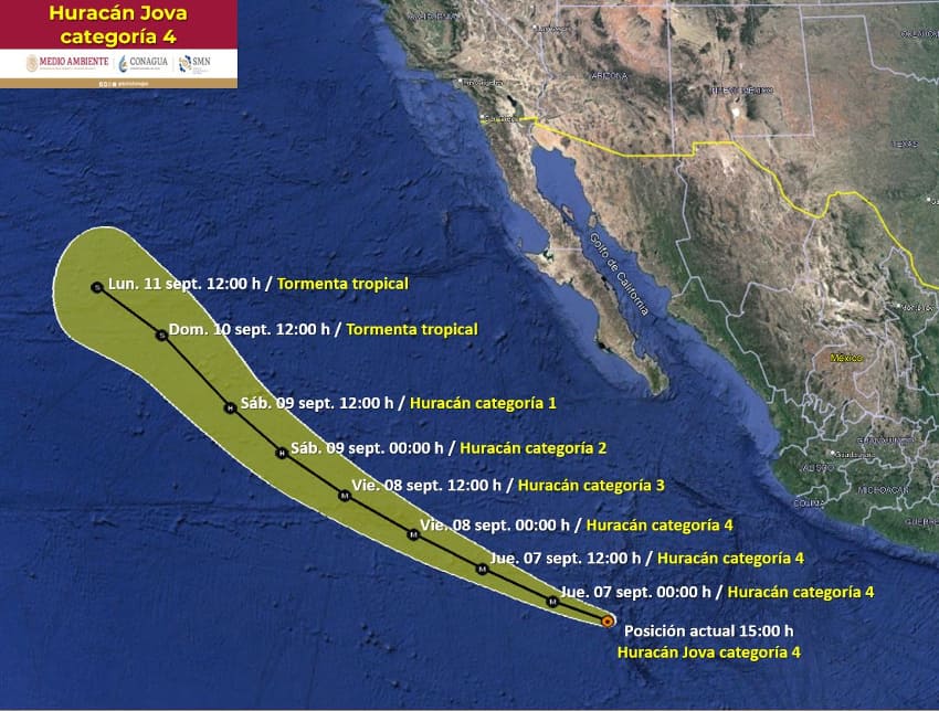
Hurricane Jova has strengthened into Category 4 according to the National Hurricane Center (NHC). While it is not expected to make landfall, the storm will impact weather conditions in several western states of Mexico.
Currently located at some 565 miles (910 km) south of Baja California and moving in a west-northwest direction at 15 mph (24 km/h) with winds of up to 130 mph, Jova is a major hurricane, but there are currently no coastal watches or warnings in effect as of Wednesday afternoon.

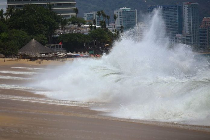
The National Meteorological Service (SMN) has forecast heavy to very heavy rains with gusts of wind in Jalisco, Nayarit, Colima and Michoacán. Waves up to 3 meters tall are expected to hit some coastlines of these states.
The population in these areas should take precautions as heavy rains could reduce visibility on stretches of roads, increase the levels of rivers and streams, and potentially cause landslides, floods and flooding.
Jova has strengthened rapidly. On Tuesday morning, it became a named tropical storm and some 24 hours later, it was designated a Category 2 hurricane. As of 3 p.m. MDT on Wednesday, the National Hurricane Center had categorized Jova as Category 4, but the hurricane is expected to begin losing strength by Friday.
Jova is the tenth tropical cyclone of the 2023 hurricane season in the Pacific, where between 16 and 22 tropical storms have been forecast for the season.
With reports from Conagua, CNN and El Informador
