
")
Much of Mexico can expect a wet weekend as a “very active” tropical wave approaches the Yucatán Peninsula and a low-pressure system brews in the Pacific.
The seasonal Mexican monsoon will also deliver scattered but heavy rains through the weekend to Chihuahua, Sonora and Sinaloa up north.
❇️ADVERTENCIA: #TemporalLluvioso del 9-12/agosto por onda tropical 15, vaguadas y perturbación tropical.
🔴⛈️Lluvias MÁS abundantes
-Nay, Jal, Col, Mich, EdoMex, CDMX, Mor, Gro, Pue, Tlax, Oax, Ver, Chis, Tab, Sin y Sierra Madre Occidental🌦️Lluvias MENOS abundantes
Gto, Qro,… pic.twitter.com/E31DS1Pa50— 🌲⛈️Meteorología México🌧️🌳 (@InfoMeteoro) August 9, 2024

The front of tropical wave 15 extends southwest from the Yucatán Peninsula to the eastern Pacific Ocean off the coast of Chiapas.
This weekend, showers are forecast for Yucatán, Quintana Roo and Campeche, but low-pressure systems stretching north will bring heavier rains up the Gulf Coast to Tabasco and Veracruz.
The National Meteorological Service (SMN) forecasts that tropical wave 15 will remain active through the weekend, eventually drifting northwest and evolving into a cyclone in the southwestern Gulf of Mexico.
Developing in the Pacific is another low-pressure zone associated with a tropical wave moving northwest along the Mexican coast. This system is likely to be impacted by tropical wave 15 and has a 10% chance of developing into a cyclone by Sunday morning, though it is more likely to become a cyclone late next week as it drifts parallel to the coastline toward the Baja California Peninsula.
Still, this system is close enough to Mexico that it will dump considerable rain on states along the southern Pacific coast and into the central plateau.
The weather forecaster Meteorología México projects heavy rains for the Pacific coast states Chiapas, Oaxaca, Guerrero, Michoacán, Jalisco, Colima and Nayarit. In the central valley, México state, Mexico City, Morelos, Puebla and Tlaxcala will also see torrential rains this weekend.
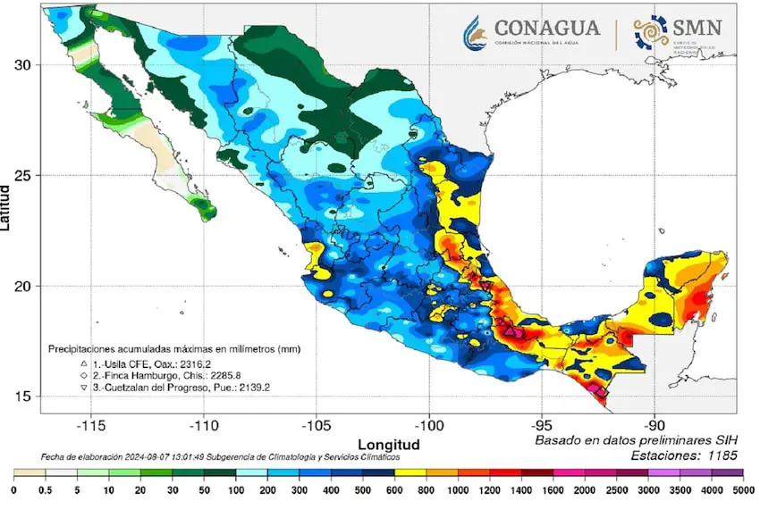
The SMN forecasts particularly heavy rains for Chiapas, Nayarit and Oaxaca (75-150 mm) on Friday, while Campeche, Colima, Guerrero, Jalisco, Michoacán, Quintana Roo, Sinaloa, Tabasco and Veracruz will see 50-75 mm of rain.
The SMN also advised residents of Baja California Sur, Chihuahua, Coahuila, Durango, Nuevo León, San Luis Potosí and Zacatecas to expect gusts of wind reaching 70 km/h on Friday.
Is La Niña here yet?
The NOAA issued a “La Niña Watch” update on Thursday, indicating that while ENSO-neutral conditions have continued in the Pacific this summer, following the end of El Niño in June, La Niña is favored to emerge between September and November, and persist through the Northern Hemisphere winter.
This means heavy rains are likely to continue in south-central Mexico and also in the northeast through autumn, as tropical waves and cyclones increase in activity.