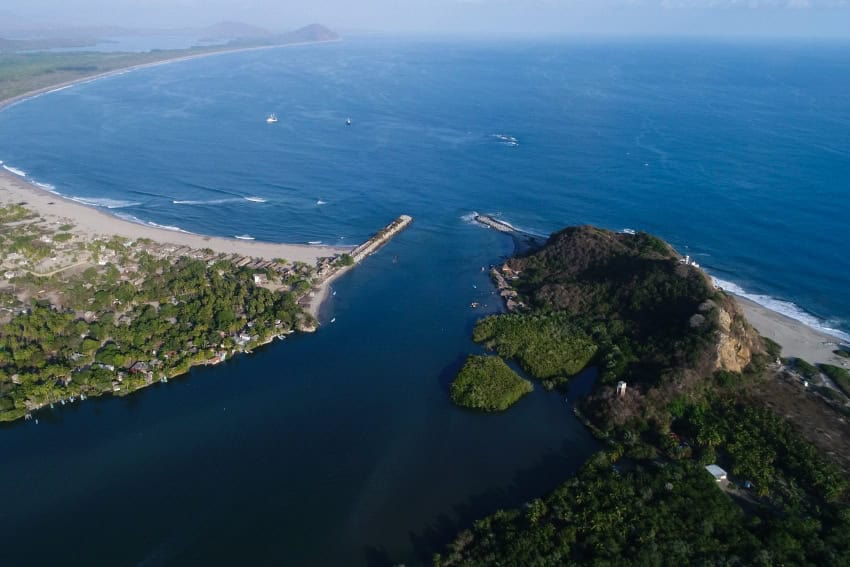
A bus from Puerto Escondido. A minibus, aka colectivo, from Rio Grande. Then a lancha, or small boat, across the water to Zapotalito. One more open-air truck and you’ve made it.
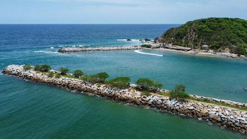
Laguna de Chacahua sits along the western coast of Oaxaca, part of the state’s more than 300 milePacific coastline – a lagoon ecosystem padded with jungle flora, where the network of mangroves roots the island in its gurgling brackish tides.
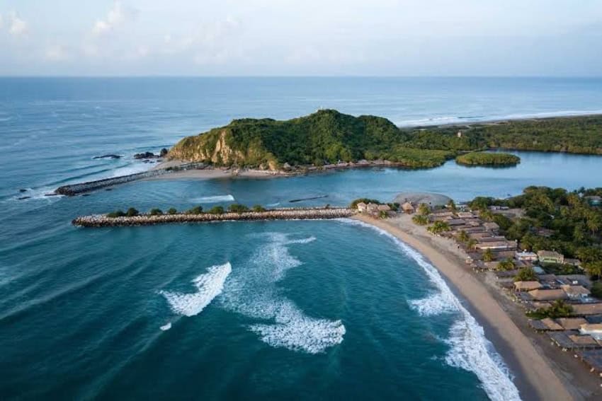
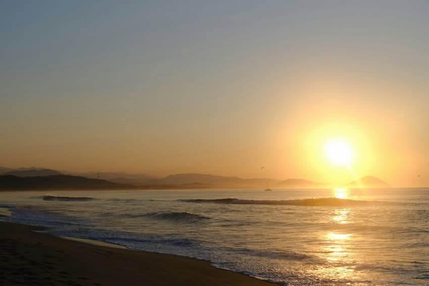
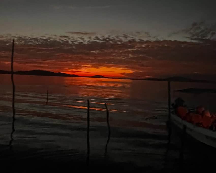
It is part of the municipality of Villa de Tututepec de Melchor Ocampo and around 100 miles down the coast from the popular beach city of Puerto Escondido. In the daytime, the high sun smelts the soft sand and rocks while hammocks loll idly in the low breeze. After sunset, bioluminescent plankton set the water aglow in a neon blue glacé.
Technically, Chacahua is a barrier island, meaning it is not entirely separate from the mainland but is only accessible by boat. The community is predominantly Black and Afro-Indigenous, partially linking back to the Spanish enslavement of Africans and their forced labor in Mexico in the 16th and 17th centuries. But many residents make their way over from the mainland to surf, fish and enjoy the more relaxed pulse of daily life.
“Here, you can be whatever you want to be,” Augusto, an architect living in Chacahua, tells me. “And nobody is going to look down on you; you’re living in a free place.”
‘The sea is starting to reclaim the land’
But it isn’t all peace in paradise. Coastal environments and their communities are facing increased exposure to natural hazards.
The rainy season from June to September brings storms and natural climate variations, but Oaxaca state’s geography, situated along Mexico’s southwest Pacific coast, leaves it particularly vulnerable to climate change. Pacific hurricanes and Atlantic basin tropical systems pose a dual threat, alongside the increasing reality of heavy rains, droughts, and rising temperatures and sea levels.

While it is difficult to find more localised data for the island, average yearly temperature in Oaxaca City rose by 1.1 degrees Celsius (2 degrees Fahrenheit) between 1994 and 2024. While this figure may seem small, it represents a rapid change over three decades, even at the local level.
Global sea level rise has been affecting the coast of Oaxaca, and Chacahua is no exception. Drawing from the Intergovernmental Panel on Climate Change’s (IPCC) 6th Assessment Report, NASA’s Sea Level Projection projects extreme sea level rise along Oaxaca’s Pacific coast, and the lagoon’s low relief offers little defense.
Sitting in a cabana just 100 meters inland, Augusto points towards Playa Chacahua. “The sea is starting to reclaim (the) land. That’s why the houses over there are collapsing.”
It was Hurricane Pauline in 1997 that dramatically shifted the landscape of Chacahua, the lagoon rising to such a level that a new inlet was created and swathes of the beach were eaten away. Today, the beach faces an ever-greater risk due to the damaging erosion.
‘Everyone fishes sooner or later’
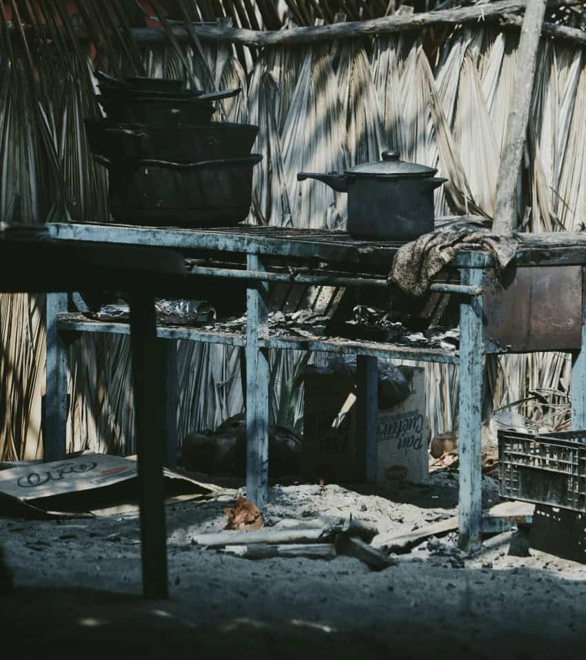
Fishing is integral to life in Chacahua, and the catch is diverse – shrimp, puffer fish, oysters, blue crabs, and red snapper by the Bajo Este. “There are all kinds of fish,” Antonio says. “There’s a bit of everything here.”
Antonio started fishing at the age of 8 with his grandfather. At 17, he began fishing for sharks; tiburoneros (shark fishermen) use a simbra, a 14-kilometre-long (9-mile) fishing line with around 300 hooks every 18 meters.
“We’d head out along the Guerrero coast, going out toward the horizon where the sun sets … to where you can’t see a thing anymore,” Antonio tells me. “Transatlantic ships pass through there. We’d stay one night and head back the next day.”
The population is no more than 800 and, according to Antonio, more than half of its residents are fishermen.
“Everyone fishes sooner or later,” he says. But security isn’t promised. “Later, some move onto other jobs because fishing is just a matter of luck.”
Santiago was born on the island and has been a fisherman for 20 years.
“Because of the rains and the storms that come, it’s more dangerous now. It’s more dangerous than compared to before. It used to be a good life.”
The ecocide of the Chacahua-Pastoría Lagoons is a key culprit, with toxic chemical influx from local oil-crop industries, as well as chemical waste from a lime-oil factory beyond Zapatalito. Shrimp and fish populations are declining. Locals have faced the consequences of diminishing catch and have even demanded government action.
In 2013, local fishermen’s collective, supported by the Human Rights Ombudsman of the People of Oaxaca (DDHPO), produced a report regarding violations against the inhabitants of Zapotalito, Chacahua, La Pastoría and El Corral details the public health risks, loss of livelihood and environmental degradation that communities have faced due to federal infrastructure projects, such as Irrigation District 110 and breakwaters in the Boca de Chacahua.
The resilience of mangroves
Part of a roughly 51-square-mile national park designated in 1937, Chacahua Lagoon is surrounded by a network of mangrove corridors, anchoring the island in verdant, woody tresses. Mangroves are trees or bushes that thrive in brackish tidal waters, often where a river meets the sea, offering nesting grounds for a diversity of wildlife.
The red mangrove (Rhizophora mangle), black mangrove (Avicennia germinans), white mangrove (Laguncularia racemosa), and buttonwood (Conocarpus erectus) are also essential to maintaining the health of the local ecosystem.
Their long, complex root systems are adapted to survive in low-lying waters, optimising oxygen absorption and filtering out saline contamination. They endure conditions that are virtually impossible for other plants, and their resilience is recognized by the locals.
Angél runs a grocery shop in the central square. His family has been living on the island for generations. The salinity of the sea is getting worse, he concedes, but “the mangroves are strong. We don’t have to cut them that much.”
“The mangroves are doing well,” Antonio agrees. “They’re tough. When they fall, they land upright,” due to their roots.
The resilience of locals
Perhaps Antonio and Angél aren’t giving themselves enough credit. In reality, mangroves are vulnerable to climate change, specifically increasing salinity, hurricane events, and worsening El Niño patterns. But it’s the locals who demonstrate climate resilience every day, in working as a community to restore the things that Angél says the government is neglecting financially and administratively.
“The effort is made every day; it’s part of life here on the island,” Augusto says. “People engage in what’s called tequio, voluntary community work to help the environment.”
In the same way, the fishermen are taking it upon themselves to try and mitigate the marine pollution, but there is a limit to what can be done without wider support.
Tequio “takes place because people love their land,” Augusto explains, but as Angél marks, the climate is getting hotter, the sea saltier, and the water warmer.
On top of this, the briny waves of gentrification are lapping at the island’s shores. Lavish cabanas with their polished wood walls and hiked-up rent are beginning to rear their haute heads.
Tourism has also been shown to worsen pollution. In Mexico’s Caribbean coast, the tourism sector accounts for one-third of the region’s total waste, and light pollution has been proven to pose threats to turtle populations, of which species such as the Leatherback are populous in Chacahua.
What’s in store for Chacahua?
Oaxaca has been strongly affected by hurricanes Otis, John, Erick, and Boris in the last four years.
While federal budgeting continues to be an issue for Natural Protected Areas across Mexico, local cooperatives, in tandem with the National Commission of Protected Natural Areas (CONANP), are taking measures to respond to growing tourism in the state of Oaxaca and have made major steps in wildlife protection and sustainable infrastructure, but the direct effects on Chacahua are yet to be comprehensively reported.
Looking into its climate future, Chacahua is standing at a delta. It goes without saying that the community has demonstrated its climate resilience through supporting mangroves, keeping the waters around the island clean, and reconstructing and relocating seafront buildings.
However, without sufficient government support, the effects of environmental jeopardy and injustice may ultimately uproot the mangrove system and local way of life to an irremediable degree.
Millie Deere is a freelance journalist.