

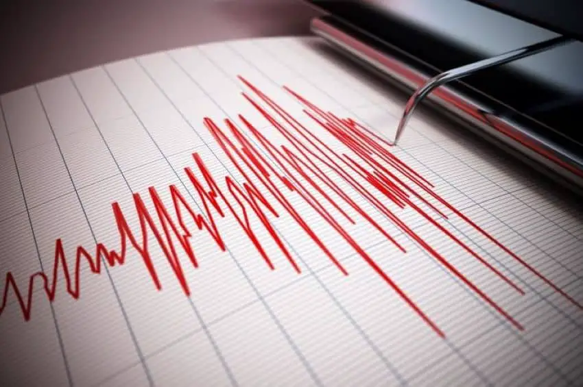
A 4.3-magnitude earthquake hit Baja California Sur at 3:18 p.m. (local time) on Monday, resulting in no significant material damage or injuries, according to the City Council’s general secretary Alberto Rentería Santana.
According to the National Seismological Service (SSN), the earthquake’s epicenter was located 10 kilometers southeast of San José del Cabo at a depth of 10 kilometers. The SSN’s preliminary reading was later adjusted to 4.8.
While the earthquake was considered by officials to be a moderate magnitude event for the region, locals felt a strong tremor on land. “It felt horrible here in San Lucas,” a user wrote on X, while another one accused the SSN of saying the earthquake’s magnitude was much lower than it actually was.
Security footage from grocery stores and shops showed a strong shock that caused products on the shelves to fall to the floor. Witnesses reported hearing the sound of glass bottles breaking and windows moving, fearing lamps hanging from the ceiling might break loose. Yet, people walking on the street, like Claudia Angélica Carrillo, told local media that she didn’t feel anything and only realized something had happened when the earthquake alarm went off.
Minor damage was also reported at the Los Cabos International Airport, where ceiling lamps and lights fell.
Monday’s 4.3-magnitude earthquake was not an isolated event. The SSN reported that the previous day, at 8:17 a.m. local time, it recorded a 2.9-magnitude earthquake three kilometers southwest of San José del Cabo, with a depth of 17.7 kilometers. On the same day, at 10:08 a.m., another 2.0 magnitude earthquake occurred seven kilometers to the west.

Officials have warned that these types of events may generate aftershocks. They have advised residents to pay attention to official statements, avoid spreading rumors or unconfirmed information and to inspect the conditions of their homes and structures, especially those with prior damage or poor construction.
The Baja California Peninsula is a region prone to earthquakes. Just between Aug. 3 and Sept. 2, the SSN reported 44 earthquakes associated with the region’s main geological faults. In Mexico, the Guerrero Gap in the southwestern state of Guerrero is considered the strip of greatest seismic risk.
With reports from BCS Noticias and El Sudcaliforniano