

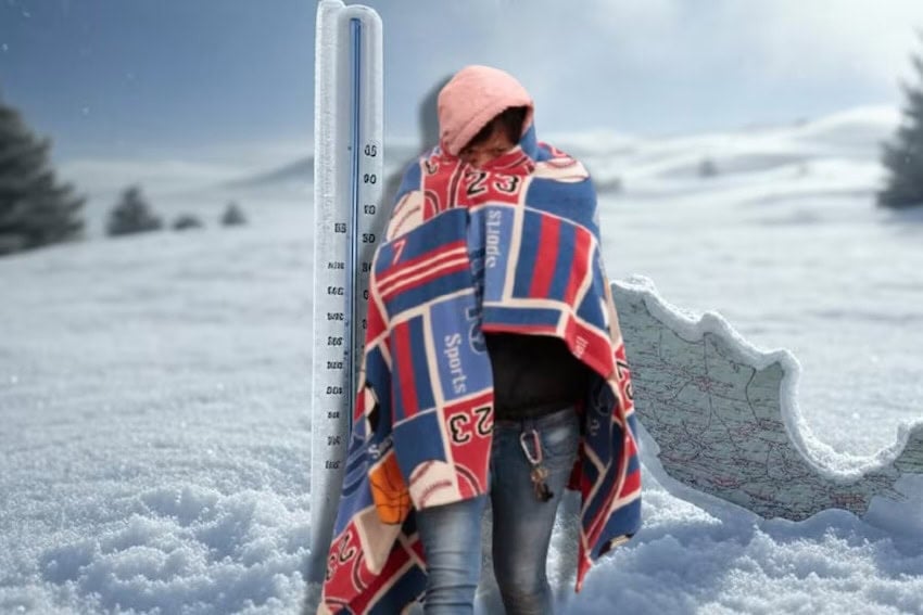
Wintry storms accompanying cold front No. 18 are expected to dump snow and sleet on mountainous areas of northern Mexico on Thursday as cold front No. 17 was still causing isolated heavy rains over northwestern parts of the country.
The National Meteorological System (SMN) warned that an upper-level trough and an atmospheric river was set to interact with the frontal systems, bringing sub-zero temperatures to parts of northern Mexico, while also generating showers and heavy rain in Baja California Sur, Sinaloa and Durango.
In combination with a cold front, an atmospheric river — a long, relatively narrow corridor in the atmosphere that carries large amounts of water vapor from tropical regions to mid or high latitudes — can reinforce precipitation, increasing the volume of rain or snow that falls. As a result, the SMN has warned of a risk of floods in the northwest, and cautioned residents to be alert for landslides or snow accumulation in high areas.
A drop in temperature is forecast for the aforementioned regions, along with gusty winds and possible snow or sleet in the mountains of Sonora, Chihuahua, Durango and Sinaloa.
The SMN said sub-zero temperatures and frost are to be expected during the early hours of Friday in mountainous areas of Baja California, Sonora, Zacatecas, México state, Tlaxcala, Puebla and Veracruz. Residents living in the mountains of Chihuahua and Durango can expect temperatures as low as –10 C.
Gusty winds are expected to accompany the chilly conditions, while the new cold front will extend as a stationary front over the northeast and east of the country, potentially bringing heavy showers on Friday. Particularly windy conditions were forecast for the states of Tamaulipas and Veracruz, as well as across the Isthmus of Tehuantepec region

Meanwhile, isolated showers and periods of rain were forecast for Thursday in the central, eastern, southern and southeastern parts of the country, including the Valley of Mexico and the Yucatán Peninsula.
A warm to mild day was forecast for Mexico City, but local civil protection officials advised residents to prepare for a cool-to-cold environment from late afternoon through Friday morning.
Low-pressure troughs, combined with moisture from the Pacific Ocean, Gulf of Mexico, and the Caribbean, were projected to cause lightning storms in the Pacific coast state of Nayarit, the Sierra Gorda region of Querétaro and Hidalgo, the Sierra Alta and Huasteca regions of Hidalgo, and the mountainous regions of Veracruz and Puebla.
The SMN also forecast stormy conditions for the states of Guerrero, Oaxaca, Chiapas and Quintana Roo.
With reports from Informador, El Financiero, Milenio and Proceso