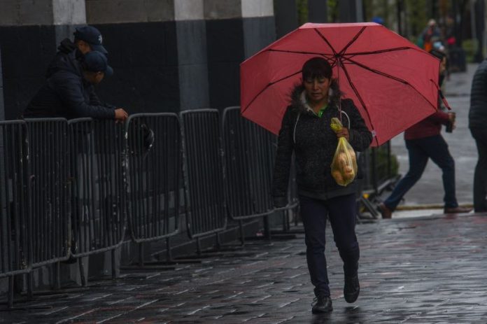
The first full week of August will bring abundant rain across Mexico as forecasters track a monsoon, cyclones and several tropical waves.
Though persistent storms are expected, extreme conditions are unlikely.
Te invitamos a consultar el #Pronóstico de #Lluvias para este día en #México. pic.twitter.com/4ts7mWALeo
— CONAGUA Clima (@conagua_clima) August 5, 2024
Mexico’s National Meteorological Service (SMN) predicts very heavy rains today in the western half of the country, with heavy rainfall forecast for central Mexico.
Here is your Monday rain forecast by state:
Rain forecast by state
Very heavy rainfall (50-75 mm) is expected in Chihuahua, Chiapas, Guerrero, Oaxaca, Sinaloa and Sonora.
Heavy rainfall (25-50 mm) is forecast in Colima, Durango, México state, Jalisco, Michoacán, Nayarit, Tabasco and Veracruz.
Showers (5-25 mm) are likely in Baja California, Baja California Sur, Campeche, Mexico City, Coahuila, Hidalgo, Morelos, Puebla, Quintana Roo, Tlaxcala, Veracruz and Zacatecas.
The Mexican monsoon will cause strong winds (50-70 km/h) across several northern states including Baja California, Sinaloa and Sonora and high waves (1-2 meters) along the coasts of Colima, Jalisco and Michoacán.
The SMN is also tracking two tropical storms in the Pacific — Fabio and Emilia — that are currently moving southwest and do not pose a risk to Mexico’s west coast.
Today @NOAA’s #GOESWest 🛰️ is monitoring the unusual sight of four simultaneous tropical storms in the eastern Pacific, #Carlotta #Daniel #Emilia and #Fabio. Currently, none of the storms are particularly strong or a threat to land.
Get the latest: https://t.co/yi6nrBgnTO pic.twitter.com/Q7A29Wg2rZ
— NOAA Satellites (@NOAASatellites) August 5, 2024
A second Fujiwhara effect could emerge in the Pacific
The pair of storms in the Pacific could potentially produce a second consecutive Fujiwhara effect, which occurs when two nearby cyclonic vortices move around each other. This binary interaction can produce a larger cyclone.
Last week, Hurricane Carlotta and Tropical Storm Daniel interacted and produced a Fujiwhara effect about 1,500 km from the Mexican coast. Meteored speculates that the occurrence of two consecutive Fujiwhara effects in the Pacific might be unprecedented.
The SMN is also tracking a low-pressure system in the Caribbean that has a 30% chance of becoming a tropical cyclone by the end of the week.
Meteored predicts high temperatures in the north, east and southeast this week as an anticyclone pushes into Mexico from the southwestern United States. Sonora, Baja California, Chihuahua, Coahuila and Tamaulipas could see highs approach 45 degrees Celsius, as could the Yucatán Peninsula.
With reports from Meteored
