United States researchers have uncovered evidence that the ancient Mayan people grew surplus crops at a site in Campeche, an indication that their economy was “much more complex” than previously thought.
A team from the University of Cincinnati (UC) in Ohio found evidence of cultivation in irregular-shaped fields that followed the paths of canals and natural water channels at Laguna de Términos, a tidal lagoon on the Gulf of Mexico coast in the municipality of Carmen.
The extensive croplands suggest that the ancient Maya were able to grow surplus crops such as cotton, which was used to make textiles that were traded throughout Mesoamerica.
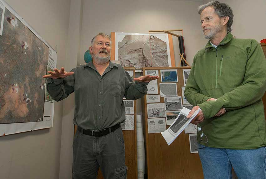
“It was a much more complex market economy than the Maya are often given credit for,” said Nicholas Dunning, a UC geography professor who was part of the research team.
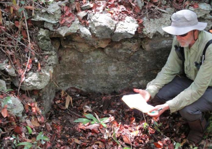
Archaeologists also expect to find evidence of habitation once they begin excavations.

Dunning explained that the Laguna de Términos site was first brought to the attention of researchers by local workers about seven years ago.
“A forester working in the area said there seemed to be a network of ancient fields,” he said.
“I looked on Google Earth and was like, ‘Whoa!’ It was an area in the Maya Lowlands that I’d never paid any attention to. And obviously not a lot of other people had either, from the perspective of looking at ancient agriculture,” Dunning explained.
A review of satellite images confirmed the geographer’s hypothesis that the area was covered with ancient farm lands.
“It appears they developed fairly simply from modifications of existing drainage along the eastern edge of the wetlands,” Dunning said.
“They probably deepened and straightened some channels or connected them in places, but then further expanded the fields with more sophisticated hydro-engineering.”
Another interest of the UC researchers is to locate ancient trade routes and Mayan marketplaces in order to glean a better understanding of the ancient Mayan economy.
Christopher Carr, a UC assistant research professor, used a map created by a surveying method called Light Detection and Ranging, or LIDAR, to follow an ancient road that possibly hasn’t been traveled in more than 1,000 years.
“The road is perfectly visible on the LIDAR map but is virtually impossible to discern when you are standing right on it,” Carr said.
“There’s vegetation everywhere. But when you’ve been doing this for a while, you notice little things,” he added.
“I’ll have a LIDAR image on my smartphone that shows me where I am, but I don’t see anything but rainforest. You just walk back and forth until you can feel something underfoot and follow it.”
Dunning said that the presence of roads between ancient Mayan cities is indicative of the value that people placed on trade with their neighbors.
He also said that researchers have identified several possible ancient marketplaces using LIDAR images, explaining “we don’t know for sure that they’re marketplaces but they have an architectural layout that is suggestive of one.”
He added that the ancient Maya likely sold maize and manioc at the markets and traded textiles.
“We don’t have direct evidence of what the textiles look like in this area. But if you look at ancient paintings and sculptures, people were wearing very elaborate garments,” Dunning said.
Soil analyses in the Laguna de Términos area have also identified evidence of ancient butcher shops and stone mason workshops.
The researchers will present the full details of their findings at the annual American Association of Geographers conference, which starts tomorrow in Washington, D.C.
Source: Science Daily (en)
