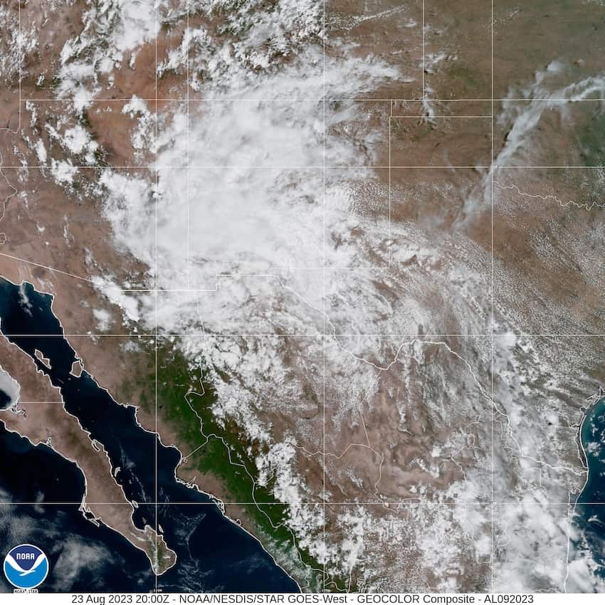
The National Meteorological Service (SMN) has warned that tropical depression Harold, which made landfall as a tropical storm on Texas’ Padre Island in the Gulf of Mexico on Tuesday, will bring heavy rainfall to north and northeastern Mexico, while other low-pressure systems will cause rain across western and southern states on Wednesday.
Wind gusts of up to 50 to 70 km per hour, along with possible dust storms and tornadoes, are forecast in the northern states of Tamaulipas, Nuevo León, Coahuila and Chihuahua, as well as heavy rainfall.

As tropical wave 24 and channels of low atmospheric pressure move across the country, the states of Chiapas, Guerrero, Michoacán, Oaxaca and Veracruz are predicted to have intense rainfall, and strong rains are also in the forecast for some central and southeastern states.
Civil protection authorities warned residents that strong winds and rain could cause landslides and increase water levels in rivers and streams. Tamaulipas civil protection authorities have reported flooding in the municipalities of Guerrero, Mier Miguel Alemán and Camargo. There are also flood warnings in Nuevo León.
Meanwhile, emergency services and civil protection authorities remain deployed on Mexico’s Pacific coast to contend with the aftermath of Hurricane Hilary. The Infrastructure Protection and Emergency Response team of the National Water Commission (Conagua) is stationed in Baja California, Baja California Sur, Sinaloa and Sonora to distribute drinking water and control flooding.
Temperatures above 40 degrees Celsius (104 degrees Fahrenheit) will continue in Baja California and Sonora.
Despite the effects of Hilary and Harold, Mexico’s National Weather Service noted that 26.1% less rain was recorded nationwide from Jan.1 to Aug. 20 than the historical average for this period.
With reports from Infobae and Milenio
