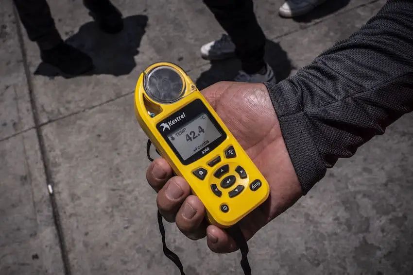
As Mexico’s third heat wave of the season extends into its second week, the 2024 Atlantic Ocean hurricane season is also now underway.
Mexico’s National Meteorological Service (SMN) issued a forecast early Monday warning of high temperatures throughout the country, and advising the public to avoid prolonged exposure to solar radiation and stay hydrated.
Para este lunes se pronostican #Lluvias fuertes en #Chiapas y el noreste de #México, así como #Chubascos en #SanLuisPotosí, #Jalisco, #Michoacán, #Guanajuato, #Querétaro, #EdoMéx y #Oaxaca pic.twitter.com/X7ep9AQU3E
— CONAGUA Clima (@conagua_clima) June 3, 2024
Originally forecast to last from May 20-28, the third heat wave will continue to scorch the country throughout this week, in particular the northern and coastal regions of Mexico. Heat alerts were issued for 12 of 16 Mexico City boroughs over the weekend.
The report forecasts temperatures in excess of 45˚C for states in the northeast and along the Gulf Coast. Included in this list are Nuevo León, Tamaulipas, Veracruz, Tabasco, San Luis Potosí and Chiapas.

States in the northwest and along the Pacific Coast can expect temperatures in the 40˚ to 45˚C range. These states include Baja California, Baja California Sur, Chihuahua, Sinaloa, Sonora, Colima, Durango, Jalisco and Nayarit.
The weather agency also issued heavy storm alerts for Chiapas, Coahuila, Nuevo León and Tamaulipas, alerting local authorities to be prepared for up to 50 mm of rain. In addition, México state, Guanajuato, Jalisco, Michoacán, Oaxaca, Querétaro and San Luis Potosí could see 25 mm of rain.
Residents in these states were cautioned about the danger of landslides and flooding, and were advised to be attentive to warnings issued by the authorities.
Meanwhile, the 2024 Atlantic Hurricane Season officially started on June 1 and is forecast to run through Nov. 30. This is the most aggressive Atlantic hurricane season the United States’ National Oceanic and Atmospheric Administration (NOAA) has ever forecast.
NOAA tracked four tropical waves moving between Africa and the Caribbean last week, but no tropical cyclone activity developed. This is the second time in three years that there were no pre-hurricane season storms, Fox News reported.
The Atlantic Basin could see up to 25 total named storms (the average is 14), up to 13 hurricanes and up to seven major hurricanes this year. The Pacific hurricane season officially began on May 15, and meteorologists expect 15-18 storm systems this year.
The main reason why this Atlantic hurricane season is expected to be particularly intense is a combination of high sea surface temperatures and the onset of the La Niña climate phenomenon. This is predicted to bring increased rains to parts of Mexico this year, a relief after the extensive drought experienced during El Niño in 2023 and into this year.
With reports from Excelsior, Fox News and NBC Channel 12 News