

Drought conditions across Mexico have declined following unusually high levels of rainfall throughout the summer.
In May, nearly 76% of the national territory was experiencing some degree of drought conditions, with the most severely impacted regions being the northwest, central-west and east. Now, thanks to the rainy season, drought levels have dropped considerably in most areas of Mexico.
MÉXICO REVERDECE 🌲🇲🇽
En imágenes satelitales compartidas por NOAA, el reverdecimiento de México es muy visible
En mayo, el país afrontaba una sequía que afectaba a casi el 75% del territorio. Ahora, el verano ha sido más lluvioso de lo habitual y la flora está recuperándose pic.twitter.com/hWgvn2DJWK
— La Jornada Baja California (@LaJornadaBC) September 19, 2024

Satellite images of Mexico show that several areas of the country have flourished following the summer rain.
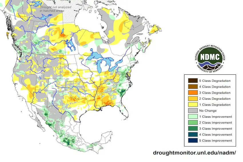
How much of Mexico’s territory is currently affected by drought?
According to the latest drought monitor from the National Water Commission (Conagua), 22.41% of Mexico’s territory is currently affected by drought — that is 6.59 percentage points less than in August and a whopping 53.55 points less than in May.
Exceptional drought conditions still persist in isolated regions of the northwestern states of Chihuahua, Durango and Sinaloa. Areas of Sonora and southwest Oaxaca are also showing moderate to severe drought conditions.
How much accumulated rainfall has Mexico seen this year?
From Jan. 1 to Sept. 22, Mexico saw 579.6 mm of accumulated rainfall, the Conagua reported.
Rain will continue to fall in the remaining days of September and October, particularly in the southern Pacific from Jalisco to Chiapas, the Yucatán Peninsula, Tamaulipas, Veracruz, Tabasco, the central region and the Valley of Mexico.
Reservoirs are recovering nationwide
In its latest report, the Conagua said that the average water level of 210 main dams in Mexico increased from 57% to 60% due to the recent two weeks of rain. The combined volume of these reservoirs has now reached 75.6 billion cubic meters, which is 10% below the historical average for this time of year.
These dams store 92% of the country’s water reservoirs.
What’s the fall forecast?
These swift changes in climate behavior — from extreme heat to heavy rainfall — are due in part to a weather pattern called El Niño-Southern Oscillation (ENSO). This natural and cyclical weather phenomenon happens when El Niño, which usually brings warmer-than-normal temperatures, transitions to La Niña, which brings colder-than-normal temperatures.
According to the United States National Weather Service, the La Niña weather pattern is expected to arrive in the following weeks. Meteorological models forecast that La Niña will persist during the fall and the winter, with weak to moderate intensity. Some weather models predict it will remain until the spring of 2025.
The transition to La Niña will bring more intense rainfall in several parts of the country.
With reports from Meteored