

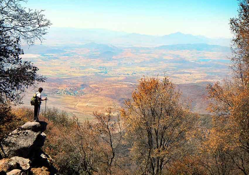
The northern shore of Lake Chapala has been called a paradise because of its ideal climate and beautiful environment, but for those of its inhabitants who enjoy hiking, this area is paradise twice over.
Why? You jump out of bed, walk a few blocks uphill and there you are at a trail head which takes you straight into a network of footpaths both easy and difficult, eventually leading to peaks offering spectacular views of the lake that those on the shoreline never see.
Many kilometers of those trails have been laboriously traced, described and mapped by a nonprofit organization called Senderos de Mexico (Trails of Mexico) which is dedicated not only to cataloguing Mexico’s hiking trails but also to signposting and maintaining them.
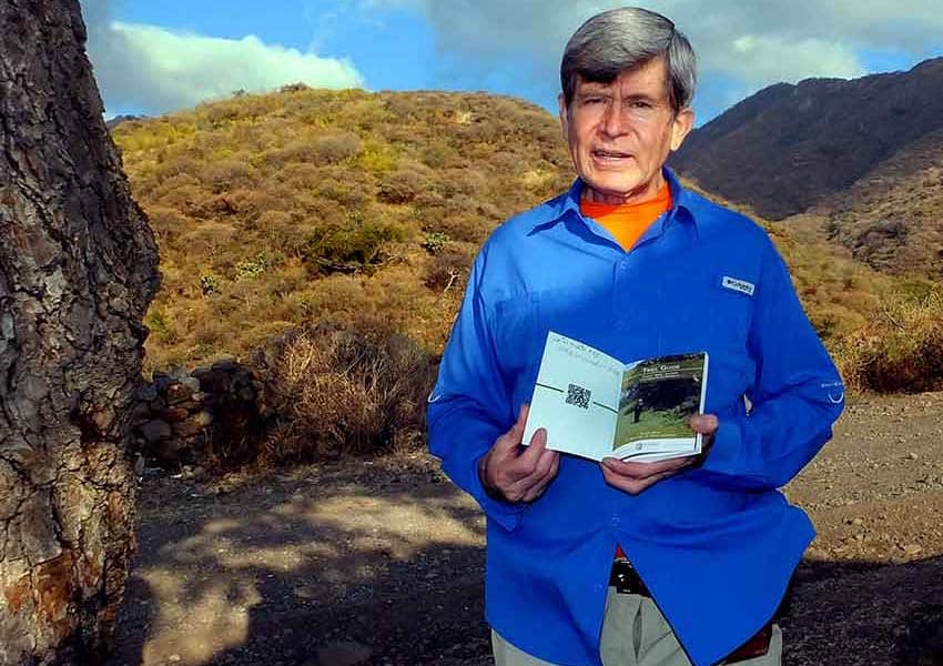
After years of on-trail research, Senderos de Mexico has published the 144-page book, “Trail Guide for Chapala, Ajijic, Jocotepec, and Ixlahuácan de los Membrillos.”
This guide comes in both a Spanish and an English edition and contains 100 color photos as well as 26 maps featuring contour lines, hiking time estimates and levels of difficulty. Loose versions of all the maps are also included in a pocket inside the book.
The Trail Guide measures 12 by 17 centimeters (less than 5 by7 inches) and weighs only 142 grams, (5 ounces), small enough to slip into your back pocket, yet packed with useful features like how to find the trail head, GPS coordinates, as well as a detailed description of the trail and where to make crucial turns.
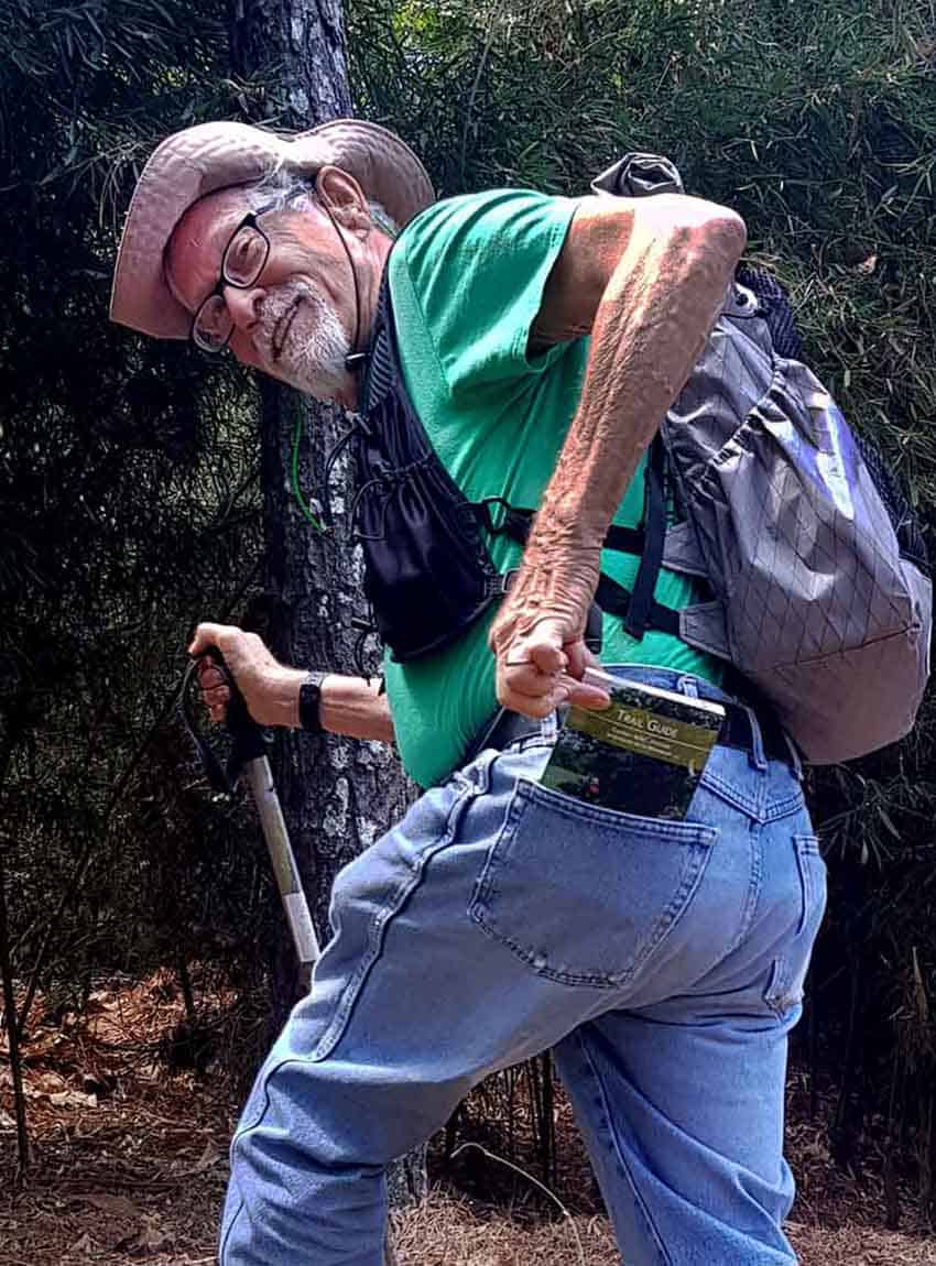
To me this trail guide is gold, and this opinion was confirmed when I showed it to experienced lakeside hiker Kriss Gang. He flipped through the book.

“Ah yes, here’s El Chante Trail, and this is La Christina and…” he began. Suddenly his eyes sparkled. “Wait a minute — what’s this? Here’s a trail I’ve never been on! Mmm, very interesting… Say, can I buy a copy of this?”
I received my own copy of this extraordinary little book from Jose Luis Cortés, Senderos’ executive director.
“Next week, I’m going on one of the hikes described in our book. Want to join me?” he asked.
I jumped at the chance. even though I already knew that Cortés is one of those people who automatically rise at 5 a.m. every morning, ready to start their day.
I was lucky enough to be able to sleep until 5:45 a.m., and then it was off to Lake Chapala.
When Cortés parked along a dirt road not far from the Tecnológico de Chapala, I knew exactly which trail we would be following.
“I’ve only done this hike once,” I told him, “but it instantly became one of my very favorites.”
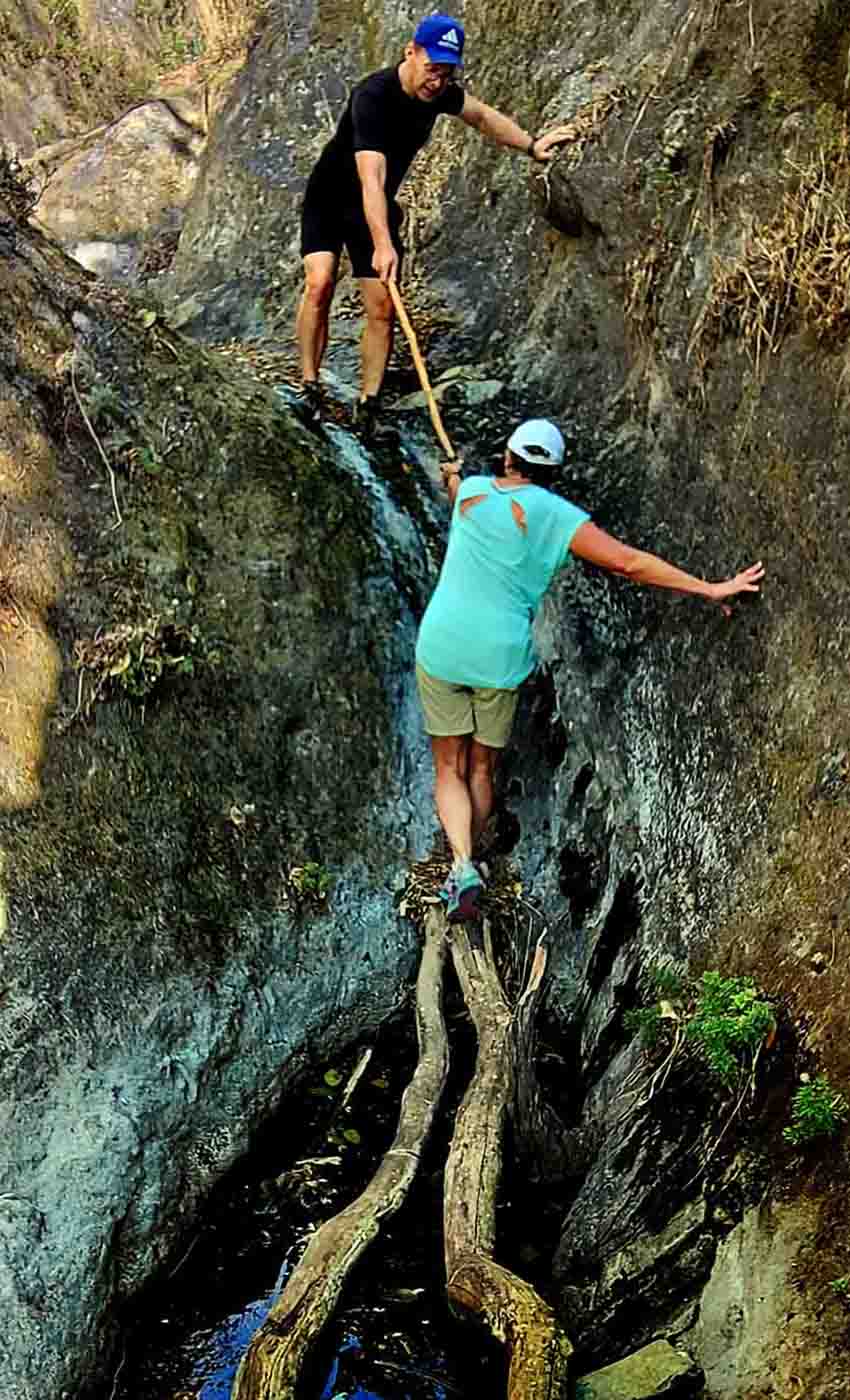
In the Trail Guide this is route number 23: “El Caracol to the Mesa Del Ocote.” Thirteen years ago, I did it during the rainy season.
You start off walking for a long time through what feels just like a tunnel through a jungle. On all sides, you hear the songs of birds, and if you are lucky, one of them will be the melodious warble of the clarín jilguero (brown-backed solitaire), which to me resembles three flutes being played all at once.
In the tunnel, you brush past wild sage and maidenhair ferns, and when you come to an occasional gap in this gallery of green, you may catch a glimpse of a huge fig tree towering overhead.
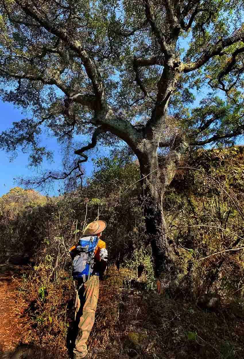
You start out at 1,838 meters altitude, and every 15 minutes, you seem to enter a new ecosystem presenting you with new plants. At 2,114 meters for example, the agaves appear — at first, at a normal size, but the higher you go the bigger they get.
Then at 2,418 meters comes the big surprise. Somehow, it seems you have left Mexico and entered Canada!
All the green is gone. You are now in an oak forest with a canopy of leaves overhead and a carpet of leaves underfoot, but not a plant or bush to be seen in between.
Passing through this stark but enticing woods, you arrive at a mirador or lookout point, that offers a gorgeous view of Lake Chapala, a view those couch potatoes down at the shore have never seen. It’s one of those special moments when you experience the joy of hiking.
For me this 3.7-km trail symbolizes the inclusion of Mexico’s five ecosystems within what I call “The Magic Circle” around the city of Guadalajara. In the space of a short hike, you can experience a diversity of flora, fauna and climate which, elsewhere in the world, might require days of travel.
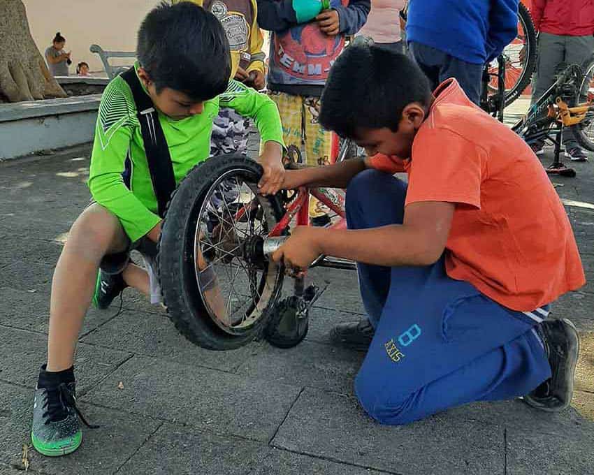
The Senderos de Mexico Chapala Trail Guide is available at Diane Pearl Gallery in Riberas del Pilar, Jalisco, and via the Senderos de Mexico Facebook page. The price is 400 pesos (US $20). Money received from book sales goes for trail signs, trail maintenance and programs that Senderos carries out in indigenous communities, training people in everything from how to fix a bicycle to how to become a trail guide — the live kind, of course.
The writer has lived near Guadalajara, Jalisco, since 1985. His most recent book is Outdoors in Western Mexico, Volume Three. More of his writing can be found on his blog.