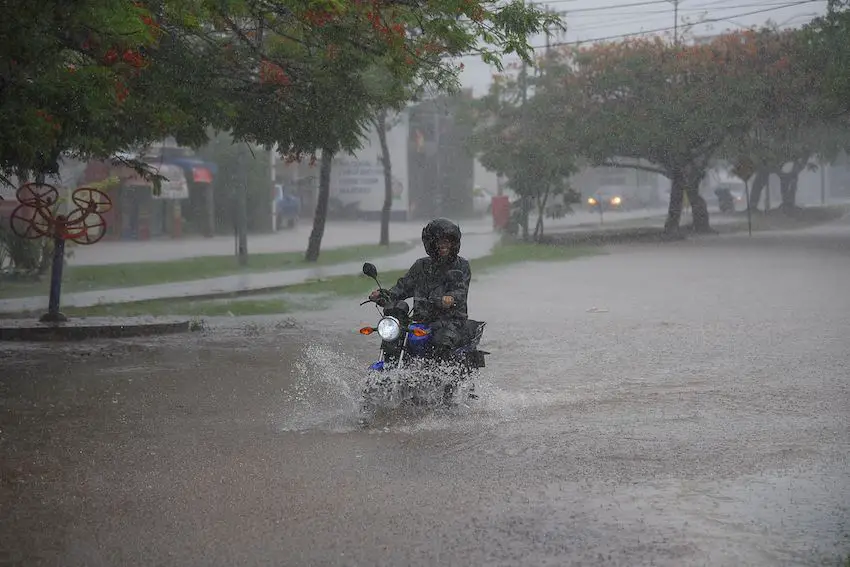
Virtually all of Mexico is under alert for heavy rains on Tuesday as the first cold front of the season and a tropical wave combine to produce severe weather conditions across 29 of Mexico’s 32 states.
A broad weather front, reinforced by a mass of cold air, is interacting with the Mexican Monsoon to bring rain and electrical storms to the north. Meanwhile, Mexico’s midsection and southern states will be affected by Tropical Wave No. 20 and humid air drifting in from both coasts.
En el siguiente mapa de #México, consulta las condiciones de #Lluvia, #Viento y #Tolvaneras que se prevén para las próximas horas.
Disponible en la siguiente liga 👉https://t.co/Eh1lhzY5kS pic.twitter.com/J07kEWJBzg
— CONAGUA Clima (@conagua_clima) September 3, 2024
The combined effects of the phenomena will produce warm temperatures throughout the day.

The weather agency Meteored projects that the tropical wave will cause electrical storms and hail storms in western Mexico, while humid air from the Pacific Ocean and the Gulf of Mexico will clash, resulting in severe weather conditions for central Mexico.
Tuesday’s storm forecast by state
Up to 150 mm of rain: Coahuila, Colima, Durango, Jalisco, Michoacán, Nayarit, Nuevo León, Sinaloa and Tamaulipas.
50-75 mm of rain: Aguascalientes, Campeche, Chiapas, Guerrero, Guanajuato, Oaxaca, Puebla, San Luis Potosí, Tabasco, Veracruz and Zacatecas.
25-50 mm of rain: Sonora, Chihuahua, Querétaro, Hidalgo, Tlaxcala, Morelos, México state, Mexico City, Yucatán and Quintana Roo.
The National Meteorological Service (SMN) cautioned that heavy rains can produce landslides and warned the public to be alert to fast-rising rivers and flooding.
The SMN bulletin also predicts the storms will bring sustained high winds (40-60 km/h) in Baja California Sur, Chihuahua, Coahuila, Durango and Sonora. Guanajuato, Hidalgo, Puebla, San Luis Potosí, Campeche and Zacatecas can also expect strong winds.
Meteored predicts damp conditions throughout the rest of the week, forecasting intense rains (75-100 mm) up north (Nuevo León, Tamaulipas, Durango, Sinaloa) and along both coasts (Nayarit, Jalisco, Oaxaca, Chiapas, Tabasco and Veracruz).
Thursday will see more of the same, with 19 states projected to receive at least 50 mm of rainfall.
Similar conditions are expected for the central and western regions of the country through the second week of September with rainfall decreasing during the second half of the month.
This week’s forecast is in keeping with SMN models that predict 16 states are forecast to see above-average rainfall in September.
With reports from Aristegui Noticias and Meteored