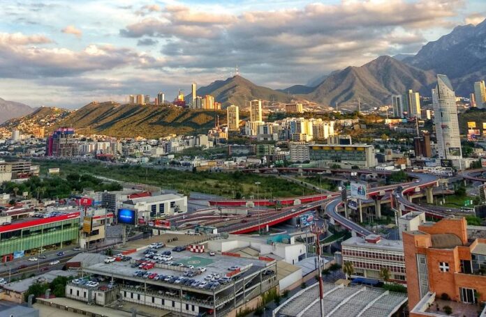
Residents of the Monterrey metropolitan area in northern Mexico experienced a rare phenomenon on Sunday evening — an earthquake.
About a half-hour after sundown in Mexico’s second-biggest metro area, a minor temblor jolted some residents out of their homes. Reports of the magnitude of the earthquake ranged from 4.3 on the Richter scale to 4.6, with Mexico’s National Seismology Service reporting it at 4.5.
🚨 ASI SE VIVIÓ EL SISMO EN MONTERREY 🚨
Hoy a las 7:26 pm se registró un #Sismo de 4.5 a 18km de distancia de #Monterrey.
😭
Al parecer, fue un desplazamiento de 3 km en una placa tectónica de manera abrupta.
😱
Varios usuarios en redes han compartido videos del sismo.
😳#RT… pic.twitter.com/3Ce9IXeWdX— Porque es tendencia en México (@XQestendenciaMX) May 12, 2025
Erik Cavazos, director of the Nuevo León state Civil Protection Ministry, told Milenio TV that the temblor did not cause any noticeable damage.
Cavazos said officials were carrying out inspections across the region, adding that his office would continue to monitor the situation in cooperation with municipal agencies.
The tremor’s epicenter was recorded at a depth of roughly five kilometers near the town of Montemorelos, about 70 kilometers southeast of Monterrey. It was felt in at least 22 municipalities including San Pedro, Apodaca, San Nicolás, Escobedo, Monterrey, Juárez, Guadalupe and Cadereyta.
Some residents compared the quake to a small explosion. Others said it felt more like a persistent cell phone vibration.
The event also prompted a plethora of memes, mostly mocking Nuevo León residents’ relative unfamiliarity with earthquakes, especially when compared with Mexico City chilangos, for whom the sight of shaking structures is somewhat common. In the national earthquake drill last April 28, some 15,000 loudspeakers blared warnings in 10 states, none of which were Nuevo León.
One TikTok account even created a quake-themed corrido, a traditional Mexican narrative ballad.
Although Monterrey technically lies in a seismic zone, it is considered low risk. The geological region known as the Curvature of Monterrey — a significant bend or curve in the structure of the Sierra Madre Oriental mountain range to the west of the Monterrey metro area — is associated with a complex pattern of folding and faulting, including major folds and thrust faults.
Think Hazard, a web-based tool used by the World Bank to assess disaster risks in development projects, says there is a 2% chance that Monterrey will experience a “potentially damaging earthquake” in the next 50 years. By comparison, the probability rises to 10% in Mexico City.
Earthquakes in Mexico’s northeast region rarely exceed 4.8 on the Richter scale, according to Think Hazard.
Sunday’s event was the 19th temblor with an epicenter in Nuevo León over the past 21 years, but none had registered above 4.4 on the Richter scale, according to EarthquakeTrack.com.
To put that in context, the National Seismology Service recorded 23 earthquakes ranging from magnitude 2.7 to 4.0 across Mexico between midnight and 9:05 a.m. on Monday.
However, at least three minor aftershocks with an epicenter in Montemorelos were registered over the subsequent nine hours, according to EarthquakeList.org — the first about two hours after the initial quake (magnitude 3.8), the second at 3:21 a.m. Monday (magnitude 3.5) and the third at 4:16 a.m. (magnitude 3.7).
Additionally, tremors from Sunday’s earthquake were felt more than 300 miles to the north in the Rio Grande Valley across the border in Texas.
