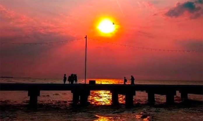
There’s a cloud of Saharan dust heading toward several states in Mexico which will make for misty skies and beautiful sunrises and sunsets — and possibly hazardous air quality conditions — over the next few days, federal officials report.
Beginning Wednesday, Yucatán, Quintana Roo and Campeche will be the first states to experience the dust cloud’s effects, followed by Veracruz and Tamaulipas as it moves northward toward the United States at the end of this week.
Each year some 100 million tonnes of dust are kicked up in mid-June by strong winds in the African desert, then the layer of dust, usually between three and four kilometers thick, is borne for up to 8,000 kilometers on the trade winds over the Atlantic Ocean and the Caribbean Sea.
The dust acts as a natural fertilizer and has been found to play a key role in restoring minerals to depleted rainforest soils in South America’s Amazon basin.
This year the dust cloud is more impressive than usual and measured some 6,500 kilometers in diameter as it hit Puerto Rico and the Dominican Republic.
“In terms of concentration and density and size, it is the most dust we’ve seen in 50 or 60 years,” said Pablo Méndez Lázaro, an environmental health researcher at the University of Puerto Rico.
Dubbed by some as the “Godzilla dust cloud,” this one is massive enough to be viewed from space as the tiny particles make their way across the globe, appearing as wispy brown paintbrush strokes superimposed over oceans and land masses.
However, the dust clouds can also carry pathogens, and people with allergies or other respiratory ailments living in areas expected to be affected by the phenomenon are advised to take precautions such as wearing a face mask and staying indoors.
Source: El Financiero (sp), El Universal (sp), Livescience (en)
