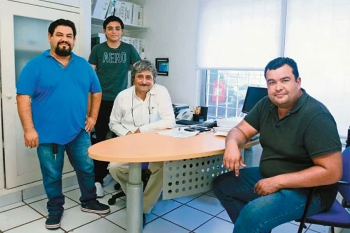
The name Cancún sargassum monitoring network is one that is popping up with more frequency in reports on the Quintana Roo sargassum invasion.
But they have no government connection; they are 12 engineers and biologists who have volunteered their time to create a software program that collates information about the seaweed’s location at sea, and predicts what part of the coastline it will affect.
Esteban Amaro, a marine biologist and chief of the monitoring network, told the newspaper El Universal that the software processes both satellite images and data collected during fieldwork.
The team first began working on the project in 2015, he said.
“We’re a team of 12 people, information engineers, electromechanical engineers, biologists, marine biologists, even geologists and an oceanographer. Each person works in their area and at the end we create a complete report with various points of view,” Amaro said.
Information about ocean currents and tides is also entered into the software program, which along with the satellite images and data collected by biologists at sea, allows the formulation of a prediction about where on the coastline sargassum will arrive.
Amaro said the software-generated prediction is accurate 95% of the time and that the forecast comes up to 72 hours before the sargassum arrives. The software is currently in the process of being patented.
Amaro revealed that since the start of the year the sargassum monitoring network has fed information supplied by members of the public into the software program to help improve the accuracy of its predictions.
“In the beginning, we were a closed network . . . [but] at the start of this year we started to operate in an open way, people started to send us photographs of the places where they detected sargassum. We’ve managed to create a very complete database,” he said.
The biologist said the software is also connected to a range of websites that provide information about weather conditions, ocean currents and other factors that affect the movement of sargassum.
The National Meteorological Service, the United States navy, NASA and even Google Earth are among the suppliers of data.
Sargassum monitoring networks at the University of South Florida and in Caribbean countries including Barbados and Jamaica also provide information that assists the seaweed-tracking team.
Once the software generates a prediction, “we send alerts about where the sargassum will arrive so that the authorities can” prepare to combat it, Amaro said.
The 48-year-old biologist explained that the members of his team, all of whom studied at the Metropolitan Autonomous University in Mexico City, are not paid for their work but do it out of altruism.
“We’re like an NGO, we don’t receive a salary so we work according to each person’s [available] time . . .”
Source: El Universal (sp)
