

Mexico’s Pacific Coast is bracing for another heavy storm as Tropical Storm Erick is expected to make landfall as a Category 2 hurricane later this week.
Authorities have begun implementing precautionary measures as Erick gained strength off the country’s Pacific Coast on Tuesday, the head of Mexico’s National Civil Protection Agency (SNPC) said.
6/17 9am CST #Erick is forecast to rapidly intensify, and could be near major hurricane strength as it approaches the coast of southern #Mexico early Thursday. #Hurricane Warnings have been issued. Life-threatening flash flooding and mudslides are possible in Oaxaca & Guerrero pic.twitter.com/XnY1aTSBkZ
— NHC Pacific (@NHC_Pacific) June 17, 2025
“We are coordinating with local authorities to carry out all preventive activities to ensure the safety of the citizens of Chiapas, Oaxaca and Guerrero,” SNPC director Laura Velazquez said.
At 9 a.m. Tuesday, the center of Tropical Storm Erick was moving west-northwest at a speed of roughly 15 km/h, according to the United States’ National Hurricane Center (NHC). It was located almost 700 km off the coast of Guerrero and is expected to become a hurricane by tonight or early Wednesday.
Guerrero is still recovering from Tropical Storm Dalila, which knocked out a bridge and caused power outages as it swept past the coast over the weekend.

Tropical-storm-force winds extended outward up to 75 km from the center and maximum sustained winds increased to 75 km/h. The storm is expected to approach the coast of southern Mexico Wednesday night and move inland or be near the coast on Thursday.
Erick could produce rainfall totals of 20 to 40 cm (8 to 16 inches), with maximum totals of 51 cm (20 inches), across the states of Oaxaca and Guerrero, according to the NHC. The rainfall may produce life-threatening flooding and mudslides, especially in areas of steep terrain.
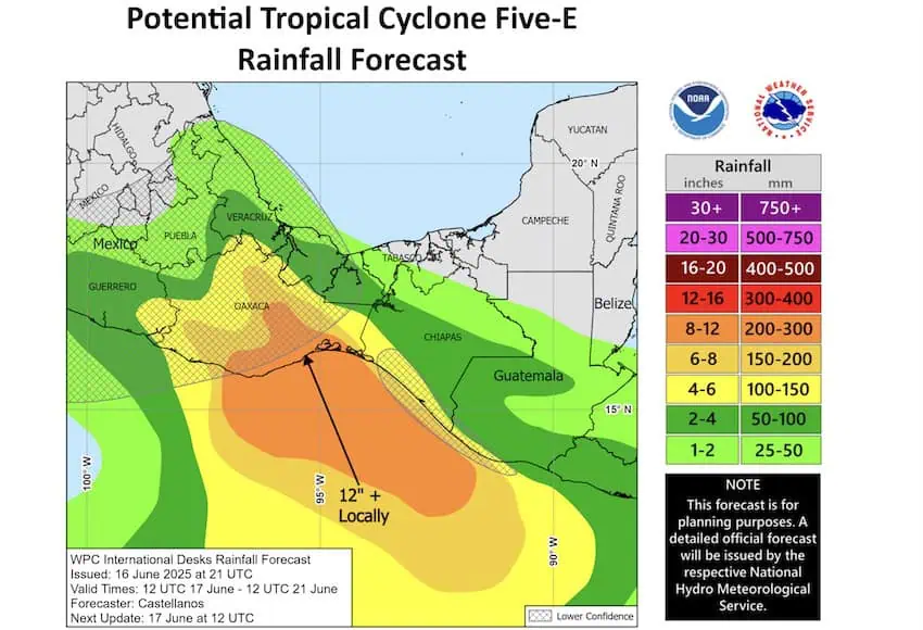
Rainfall totals of 8 to 13 cm (3 to 5 inches), with maximum totals of 40 cm (8 inches), are possible across the states of Chiapas, Michoacán, Colima and Jalisco.
Swells and storm surge generated by Erick are expected to begin affecting the coast of southern Mexico in a day or so. These swells are likely to cause life-threatening surf and rip current conditions.
The government issued a Hurricane Warning from Punta Maldonado in the state of Guerrero extending 300 kilometers south to the Oaxaca coastal town of Puerto Angel.
A warning (hurricane conditions expected) is typically issued 36 hours before the anticipated first occurrence of tropical-storm-force winds, conditions that make outside preparations difficult or dangerous.
A Hurricane Watch (hurricane conditions possible) was issued from Punta Maldonado extending northwest to Acapulco, a distance of 247 kilometers. A Tropical Storm Warning (tropical storm conditions expected within 36 hours) was issued extending 190 kilometers east of Puerto Angel to Salina Cruz.
Watches and warnings are likely to be extended westward along the coast before Wednesday so residents in southern Mexico have been asked to monitor the progress of the storm.
With reports from El Economista, El Financiero, Vanguardia and Aristegui Noticias