

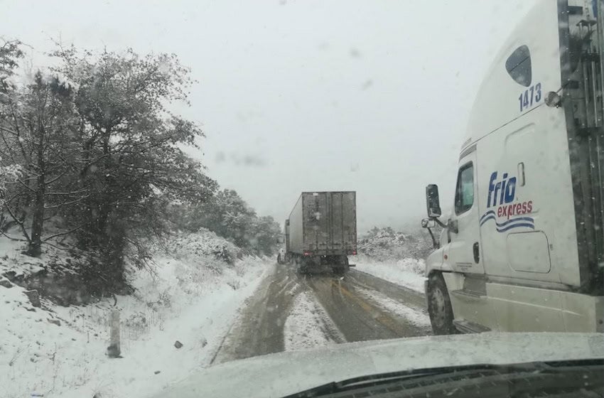
The National Meteorological Service (SMN) on Friday issued a winter weather alert for residents of northern Mexico as the third winter storm of the season is expected to bring cold temperatures and heavy rain to the region.
The border states of Baja California, Sonora and Chihuahua, as well as Durango state, were put on alert due to “a significant drop in temperatures, strong winds and heavy to very heavy rainfall … and possibly snow or sleet.”
At the same time, Cold Front No. 30 will drift over the northeastern part of the country where it will be reinforced by an Arctic air mass by Friday evening. The SMN report said moisture coming in off the northern Gulf of Mexico will combine with the remnants of Cold Front No. 30 to generate rain and showers there.
The phenomenon in northern Mexico is the westernmost edge of the potentially historic winter storm that is expected to impact the United States this weekend, prompting extreme weather alerts from the Texas Panhandle to the Northeastern Atlantic states.
The rejuvenated cold front is also expected to produce northerly winds gusting up to 70 km/h (42.5 m/h) in northeastern Mexico. Residents of northern Coahuila are being advised of the possible formation of whirlwinds or tornadoes.
In the Northern Plateau and the Central Plateau, including the Valley of Mexico, cold to very cold conditions will produce fog banks in the morning and persist throughout the day. Minimum temperatures could dip as low as minus-5 C (23 F) in Hidalgo, México state, Tlaxcala, Puebla, Veracruz and Oaxaca. Mexico City’s low is projected to reach 0 C (32 F).
🥶❄️⛈️ Hoy se prevén #Lluvias muy fuertes y caída de #Nieve o #Aguanieve en regiones de #BajaCalifornia, #Sonora, #Chihuahua y #Durango. Más información en ⬇️https://t.co/agFhcoEB8W pic.twitter.com/9scC2Tri7D
— CONAGUA Clima (@conagua_clima) January 23, 2026

In response to the winter storm conditions, the Federal Electricity Commission (CFE) reported that it has sufficient capacity available to maintain the supply of electricity across the country.
The CFE said it is coordinating with the Energy Ministry to establish strategic actions to protect the continuity of the electricity supply. The CFE also activated its Emergency Response Steering Group, which will remain in permanent session to monitor the evolution of the storm.
The National Coordination of Civil Protection also issued an advisory, urging residents across the country to take preventative measures throughout the weekend.
“To mitigate the effects of these weather systems and safeguard physical safety and property, specific recommendations are issued. If using gas heaters or fireplaces, maintain adequate ventilation to prevent carbon monoxide poisoning and turn them off before going to sleep; protect and insulate external pipes to prevent frost damage and secure sheet metal roofs, windows, awnings and objects that could be dislodged by wind gusts exceeding 60 km/h (37.3m/h).”
Elsewhere, the Regional Hydrometeorological Center in the state of Yucatán forecast stable weather conditions, warm temperatures up to 34 C (93 F) and isolated showers in coastal Quintana Roo, eastern Yucatán and southern Campeche, with wind gusts of up to 40 km/h.
With reports from El Universal, La Jornada and El Diario de Yucatán